What are the most spectacular roads in Spain?
Tucked away on the Iberian Peninsula, in the southwestern part of Europe, the roads of Spain offer the best way to discover the country’s diverse topography. It features mountain roads, even the highest paved road in Europe, as well as stunning coastal drives on the Balearic Islands and the Canary Islands.
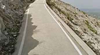
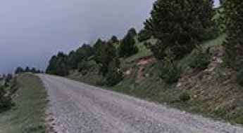
The country is home to Pico del Veleta, the highest paved road in the European continent. Ending at 3,369m (11,053ft) above sea level, it's one of the highest roads in Europe. At an altitude of around 3,000m, road conditions become significantly worse. For those seeking mountain roads, Alto de l’Angliru is the ultimate cycling ascent in Asturias. Climbing up to 1.558m (5,111ft) above sea level, it’s one of the hardest and most epic climbs you can ride on two wheels.
If you’re up for a drive on scenic roads, Mallorca hosts two stunning drives: the sensational road to Formentor Lighthouse and Sa Calobra, the Snake Road. Located on the island of Mallorca, Sa Calobra Road is one of the most scenic drives in the world. Imagine dropping a long piece of wet spaghetti on the floor. The pattern it makes looks something like what the road looks. If you really want a challenge, try tackling it by bike. On the Canary Islands, GC-200 is an exhilarating road with 365 curves and spectacular views. The road has it all, from hairpin bends to sheer cliff-edge drops. It's one of the best roads on the Canary Islands.
So, rev up your engines and let Spain's spectacular routes guide you through a journey of soulful discoveries and unforgettable vistas. You will discover many treasures created by skilled workers employed by construction firms with tradition in Spain.
Lapazuso
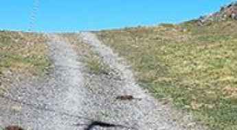
Lapazuso is a high mountain peak at an elevation of 2.142m (7,027ft) above the sea level, located in the province of Huesca, Aragón, in northeast Spain, near the French border. It’s one of the highest mountain roads of the country.
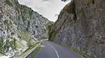
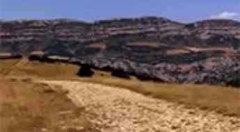
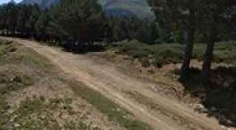
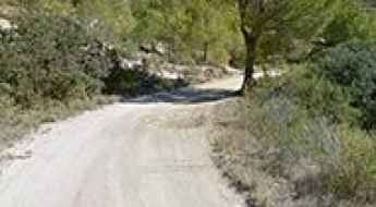
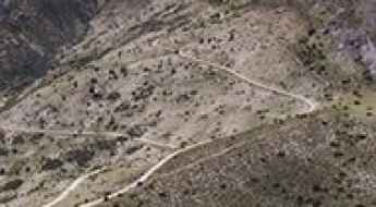
Driving the scenic Cares Canyon Road in Asturias
Cañon del Rio Cares is a very scenic canyon located in the province and autonomous community of Asturias, in Spain. It’s one of the most scenic canyon roads of Spain.
Puig Drau
Puig Drau is a high mountain peak at an elevation of 1.345m (4,413ft) above the sea level, located in the comarca of Osona, in the province of Barcelona and autonomous community of Catalonia, Spain.
Road TE-V-2001
Carretera TE-V-2001 is a very exciting mountain road located at the southern end of Aragon, bordering the Valencian Community, in Spain.
Guillimona
Guillimona is a high mountain peak at an elevation of 1.876m (6,154ft) above the sea level, located in the province of Granada, in Andalusia, Spain.
El Coscollet
El Coscollet is a high mountain peak at an elevation of 1.609m (5,278ft) above the sea level, located in the comarca of Alt Urgell, in the province of Lleida and autonomous community of Catalonia, Spain. The summit offers stunning views.
Cap de Blanhiblar
Cap de Blanhiblar is a high mountain peak at an elevation of 2.227m (7,306ft) above the sea level, located in the Val d'Aran, a valley in the Pyrenees mountains in the northwestern part of the province of Lleida, in Catalonia, northern Spain. It's one of the highest roads of the country.
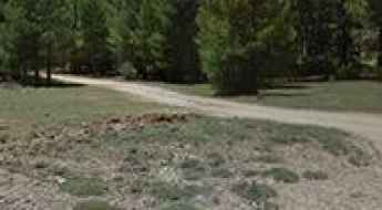
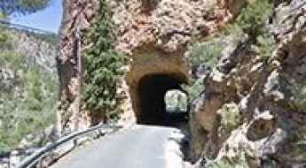
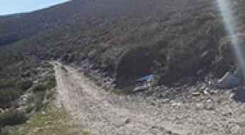
The old and abandoned road to Puerto de Rañadoiro
Puerto de Rañadoiro is a mountain pass at an elevation of 1.178m (3,864ft) above the sea level, located in the province and autonomous community of Asturias, in northern Spain. The road to the summit was bypassed by a tunnel.
The infernal road to Pico el Puntal
Pico el Puntal is a mountain peak at an elevation of 1.286m (4,219ft) above the sea level, located in Almería province, in the autonomous community of Andalusia, Spain.
Puerto de Pedro Bernardo
Puerto de Pedro Bernardo is a mountain pass at an elevation of 1.245m (4,084ft) above the sea level, located in the province of Ávila, Castile and León, Spain.
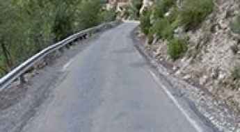
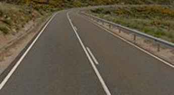
Road CV705
Carretera CV705 is a short mountain road located in the Valencian Community, Spain. The road is paved all the way.
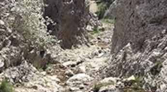
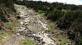
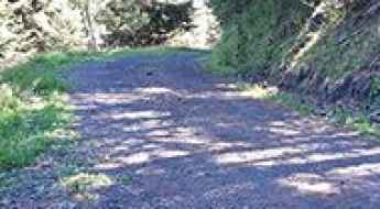
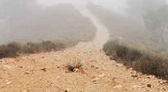
Estrecho del Infierno
Estrecho del Infierno is a narrow stretch of trail through some interesting rock formations located in the province of Cuenca, Castile-La Mancha, in Spain.
Sant Mamet
Sant Mamet is a high mountain peak at an elevation of 1.391m (4,564ft) above the sea level, located in the comarca of Noguera, in the province of Lleida and autonomous community of Catalonia, Spain.
Estany Closell
Estany Closell is a high mountain lake at an elevation of 2.086m (6,843ft) above the sea level, located in the province of Lleida, Catalonia, in north-eastern Spain, near the French border. The average gradient is 7.16%.
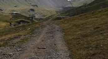
Llano de los Infantes
Llano de los Infantes is a high mountain plateau topping out at an elevation of 2.315m (7,595ft) above the sea level, located in Tenerife in the Canary Islands, Spain. It’s one of the highest roads of Spain.
Driving through the infamous Taibilla Canyon
Cañón de Rio Taibilla is a very scenic drive running through an incredible landscape located in Albacete province, in the Spanish autonomous community of Castilla–La Mancha. It’s one of the most scenic canyon roads of Spain.
The road to Alt del Miserat: not recommended to newbies
Alt del Miserat is a mountain peak at an elevation of 754m (2,473ft) above the sea level, located in the province of Alicante, in the Valencian Community of Spain.
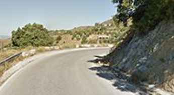
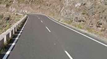
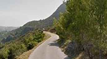
Road MA-126
Located in the province of Málaga in the autonomous community of Andalusia in southern Spain, MA-126 road is a very scenic drive.
Margalida Mine
Mina Margalida is an abandoned zinc mine located in the valley of Barradòs, in the Val d'Aran, a valley in the Pyrenees mountains in the northwestern part of the province of Lleida, in Catalonia, northern Spain.
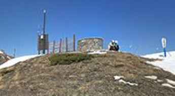
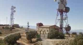
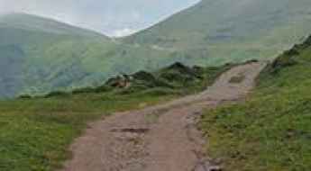
Mirador del Valle de Ordesa
Mirador del Valle de Ordesa is a natural lookout point at an elevation of 1.947m (6,387ft) above the sea level, located in the Ordesa Valley, in the province of Huesca, Aragon, Spain.
Coma d'Auran
Coma d'Auran is a high mountain peak at an elevation of 2.137m (7,011ft) above the sea level, located in the Val d'Aran, a valley in the Pyrenees mountains in the northwestern part of the province of Lleida, in Catalonia, northern Spain. It's one of the highest roads of the country.
The Ultimate Guide to Driving to Mirador de la Retama
Mirador de la Retama is an observation deck at an elevation of 796m (2,611ft) above the sea level, located in the western part of the island La Gomera, in the province of Santa Cruz de Tenerife of the Canary Islands, Spain.
Adventure Along the Wild Road to Mirador de Piedra Lobera
Mirador de Piedra Lobera is a natural viewpoint at an elevation of 1.696m (5,564ft) above the sea level, located in Almería province of the Autonomous Community of Andalusia, Spain.
Peña Caballera
Peña Caballera is a high mountain pass at an elevation of 2.187m (7,175ft) above the sea level, located in the province of Granada, in the region of Andalucia, southern Spain. It’s one of the highest roads of the country.
Sant Benet
Sant Benet is a high mountain peak at an elevation of 1.150m (3,772ft) above the sea level, located in the comarca of La Selva, in the province of Girona and autonomous community of Catalonia, Spain.
Road Beniarres-Vilallonga
Carretera Beniarres-Vilallonga is a short mountain road located in the Valencian Community of Spain. The road is asphalted. It’s 22.7 km long.
How to Travel to Mirador César Manrique
Mirador César Manrique is an observation deck at an elevation of 705m (2,312ft) above the sea level, located in the western part of the island La Gomera, in the province of Santa Cruz de Tenerife of the Canary Islands, Spain.
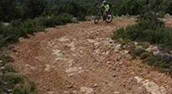
The Wild Road to Pico del Relojero in Murcia
Pico del Relojero is a mountain peak at an elevation of 600m (1,968ft) above the sea level, located in the Region of Murcia, an autonomous community of Spain. The climb is brutal, with sections up to 15%.
Cerro Jabalcon, a very tough and popular climb
Cerro Jabalcon is a high mountain peak at an elevation of 1.472m (4,829ft) above the sea level, located in province of Granada, autonomous community of Andalusia, in southern Spain.
Driving the wild Pas del Comptador
Pas del Comptador is a mountain pass at an elevation of 959m (3,146ft) above the sea level, located on the eastern coast of Spain, part of the Valencia region’s famed Costa Blanca.
Collada Fonda
Collada Fonda is a high mountain pass at an elevation of 1.911m (6,269ft) above the sea level, located in the comarca of Ripollès in Girona, Catalonia, in northern Spain near the French border.
Puig Castellar
Puig Castellar is a mountain pass at an elevation of 943m (3,093ft) above the sea level, located on the border of Alt Penedès and Anoia regions, in the province of Barcelona, Catalonia, Spain. The climb is very steep, with sections up to 12%.
Road trip guide: Conquering Pico El Morrón
Pico El Morrón is a high mountain peak at an elevation of 1.593m (5,226ft) above the sea level, located in the westernmost area of the province of Granada, in the autonomous community of Andalusia, in southern Spain.
Travel guide to the top of Pico Telégrafo
Pico Telégrafo is a high mountain peak at an elevation of 1.977m (6,486ft) above the sea level, located in the province of Granada, autonomous community of Andalusia, in southern Spain.
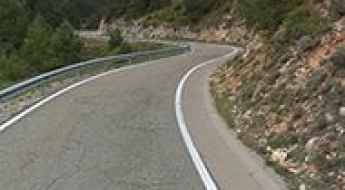
Driving the stunning C-462 road to Coll de Port
Coll de Port is a high mountain pass at an elevation of 1.671m (5,482ft) above the sea level, located in the comarca of the Solsonès in the Province of Lleida, Catalonia, in north-eastern Spain.

A tricky drive to Collado del Muñon
Collado del Muñon is a high mountain peak at an elevation of 1.768m (5,800ft) above the sea level, located in the province of León, Castile and León, in northwest Spain.
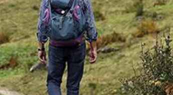
Choosing the best Camino de Santiago route for you
Dating back to Mediaeval times, Camino de Santiago is a world-renowned route network used by pilgrims. While the oldest and most established routes are primarily located in Spain, there are also many across other European countries, including Norway, Italy, the UK and so on. With an increased popularity in walking holidays among travellers, the most loved Camino de Santiago routes are easy to name - but how do you choose which one is the best for you? Here’s what you need to know.
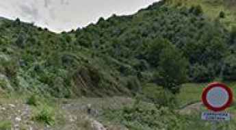
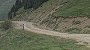
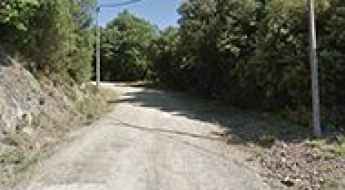
The road to Sobrón Alto is not for the sissies
Sobrón Alto is a small village located in Álava province, in the Basque Country, in northern Spain.

The road to Refugio Postero Alto, pure adventure
Refugio Postero Alto is a high mountain refuge at an elevation of 1.887m (6,190ft) above the sea level, located in the province of Granada, in the region of Andalucia, in southern Spain.
Alto del Muñón, an awe-inspiring drive
Alto del Muñón is a high mountain pass at an elevation of 1.789m (5,869ft) above the sea level, located on the South of the Principality of Asturias, in northern Spain.
Laguna de Sobia
Laguna de Sobia (Sobia's Lake) is a high mountain lake at an elevation of 1.363m (4,471ft) above the sea level, located on the South of the Principality of Asturias, in northern Spain. The climb is brutal: 21.13% of average gradient.
Travel guide to the top of Cap del Verd
Cap del Verd is a high mountain peak at an elevation of 2.285m (7,496ft) above the sea level, located in the northwest of the comarca of Berguedà in Catalonia, northern Spain.
Cap de Vaques: a dirt trail to the summit
Cap de Vaques is a high mountain peak at an elevation of 2.312m (7,585ft) above the sea level, located in the heart of the Pyrenees, in the province of Lleida and autonomous community of Catalonia, Spain. It's one of the highest roads of the country.
Puerto de Navaluenga
Puerto de Navaluenga is a high mountain peak at an elevation of 1.804m (5,918ft) above the sea level, located in the province of Ávila, Castile and León, Spain. It’s 12’5% with some sections up to 37%.
Puerto de Navalmoral, an iconic Vuelta a España climb
Puerto de Navalmoral is a high mountain pass at an elevation of 1.517m (4,977ft) above the sea level, located in the central part of the province of Ávila, in Castile and León autonomous community, in north-western Spain.