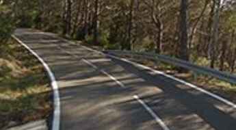
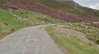
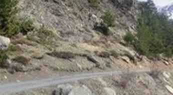
What are the most spectacular roads in Spain?
Tucked away on the Iberian Peninsula, in the southwestern part of Europe, the roads of Spain offer the best way to discover the country’s diverse topography that features mountain roads, even the highest paved road of Europe, as well as stunning coastal drives on the Balearic Islands and the Canary Islands.
The country is home to Pico del Veleta, the highest paved road of Europe. Ending at 3,369m (11,053ft) above sea level, it's one of the highest roads in Europe. At an altitude of around 3,000m, road conditions become significantly worse. For those seeking mountain roads, Alto de l’Angliru is the Ultimate Cycling Ascent in Asturias. Climbing up to 1.558m (5,111ft) above sea level, it’s one of the hardest and most epic climbs you can ride on two wheels.
If you’re up for a drive on scenic roads, Mallorca hosts 2 stunning drives: The sensational road to Formentor Lighthouse, and Sa Calobra, the Snake Road. Located on the island of Mallorca, in Spain, Sa Calobra Road is one of the most scenic drives in the world. Imagine dropping a long piece of wet spaghetti on the floor. The pattern it makes looks something like what the road looks. If you really want a challenge, try tackling it by bike. On the Canary Island,GC-200 is an exhilarating road with 365 curves and spectacular views. The road has it all, from hairpin bends to sheer cliff-edge drops. It's one of the best roads on the Canary Islands.
So, rev up your engines and let Spain's spectacular routes guide you through a journey of soulful discoveries and unforgettable vistas. You will discover many treasures created by skilled workers employed by construction firms with tradition in Spain.
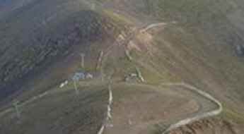
Puig Falcó, a brutally steep (20%) unpaved track in the Pyrenees
Puig Falcó is a high mountain peak at an elevation of 2.754m (9,035 ft) above the sea level, located in the heart of the Pyrenees, in the province of Lleida and autonomous community of Catalonia, Spain. It's one of the highest roads of Europe.
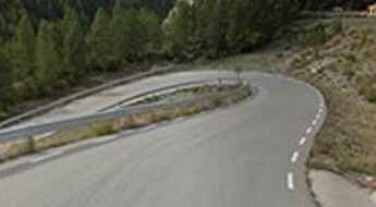
The inhumane climb to Coll de Pradell with 23% ramps
Coll de Pradell is an extreme high mountain pass at an elevation of 1.732m (5,682ft) above the sea level, located in the province of Barcelona, in Catalonia, northern Spain. The climb is brutal, with 23% of gradient sections.
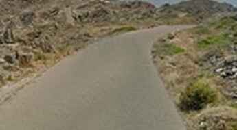
A scenic drive to Cap de Creus Lighthouse, an inspiration to Dali
Cap de Creus Lighthouse is located in a peninsula in the Alt Empordà comarca, in the province of Girona, at the far northeast of Catalonia, in northern Spain The nature has created here a scenery that is marvelous and other-worldly. The road pierces crazily tilted rocks and tapers to a single lane leading across a narrow isthmus.
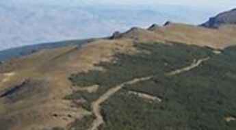
Dare to drive the dangerous Peña Horadada
Peña Horadada is a high mountain pass at an elevation of 2.350m (7,709ft) above the sea level located in Almería province, in the autonomous community of Andalusia, in Southern Spain. It’sone of the highest roads of the country.
Travel guide to the summit of Cim de Coma Morera
Cim de Coma Morera is an international high mountain pass at an elevation of 2.205m (7,234ft) above the sea level, located on the Spanish-French border. It's one of the highest mountain roads of Spain.
Road trip guide: Conquering Lago de Llauset
Llauset dam is a high mountain reservoir located within the Natural Park of Posets-Maladeta, a Natural park located in northern Province of Huesca, Aragón, northeastern Spain, at an elevation of 2.250m (7,381ft) above the sea level. It's one of the highest roads of Spain.
The road to Portillo de Lunada is not recommended to people afraid of heights
Portillo de Lunada is a high mountain pass at an elevation of 1.360m (4,461ft) above the sea level, located on the boundary of Cantabria and Castile and León, in Spain. The road is not recommended to people afraid of heights, especially when driving on the cliff side.
The road to Coll de Jou, a chillout in high mountains
Coll de Jou is a high mountain pass at an elevation of 1.637m (5,370ft) above the sea level, located in the province of Girona and autonomous community of Catalonia, in northern Spain.
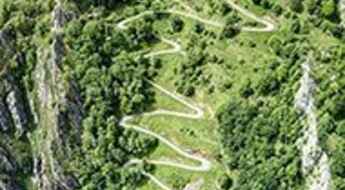
The road to Casielles is the ‘Petit Alpe d’Huez’ with 23 hairpin turns
Casielles is a small ghost town at an elevation of 809m (2,654ft) above the sea level, located in the Asturian council of Ponga, in northern Spain. Be careful: this narrow road is difficult, with 23 hairpin turns.
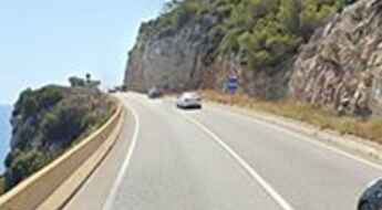
C31, a busy coastal road with sharp curves
C31 is a coastal corniche road located in Spain's Catalonia region, southwest of Barcelona. The exciting road, nicknamed Costes del Garraf road, is not suitable for those who get dizzy.
Driving the stunning Pista de Ruego to Minas de Liena
Pista de Ruego is the name of a stunning drive climbing up to the abandoned Minas de Liena, in Aragon, an autonomous community of Spain. It's one of the highest roads of Spain.
The Road to Collado del Ampriu Has it All
Puerto del Ampriu is a high mountain pass at an elevation of 2.261m (7,417ft) above the sea level, located in the Benasque Valley, in the heart of the Pyrenees, in Spain. It's one of the highest mountain roads of the country.
A narrow paved road to Ortzanzurieta
Ortzanzurieta is a high mountain pass at an elevation of 1.570m (5,150ft) above the sea level, located in the Pyrenees, a range of mountains in southwest Europe that forms a natural border between France and Spain. The pass is traversed by the NA-2033 road.
Road trip guide: Conquering La Villuerca
La Villuerca is a high mountain peak at an elevation of 1.603m (5,259ft) above the sea level, located in Las Villuercas comarca, Cáceres Province, in the Autonomous Community of Extremadura in Spain.
Llano de las Animas, one of the steepest roads in Europe
Llano de las Animas is a high mountain plateau at an elevation of 2.036m (6,679ft) above the sea level, located in the western part of the island of La Palma in the province of Santa Cruz de Tenerife of the Canary Islands. The climb is simply brutal, with sections up to 20%.
An iconic road to El Retamar in the Canary Islands
El Retamar is a high mountain pass at an elevation of 2.100m (6,889ft) above the sea level, located in the south-central part of the island of Tenerife, one of the Canary Islands, in Spain.
Road GC-606
Located in the western part of the island of Gran Canaria in the Las Palmas province in the Canary Islands, in Spain, the GC-606 road is one of the most challenging roads in the island. This is not your road if you have passengers that don't like heights. It's spectacular or terrifying, depending on how you handle heights.
Driving the challenging paved Road TF-24 on Canary Islands
Located in Tenerife on the Canary Islands, Spain, the gorgeous TF-24 is said to be one of the most exciting drives in the island. It’s one of the highest roads of Spain. It’s an extraterrestrial experience above the clouds. The road is a delight to drive, with every kind of twist and turn.
Travel guide to Haza del Lino
Haza del Lino is a mountain pass at an elevation of 1.280m (4,199ft) above the sea level, located in Granada, a province of southern Spain, in the eastern part of the autonomous community of Andalusia.
The Wild Road to Tuc de la Llança
Tuc de la Llança is a high mountain peak at an elevation of 2.503m (8,211ft) above the sea level, located in the province of Lleida, autonomous community of Catalonia, Spain. It’s one of the highest roads of the country.
Ruta del Cares
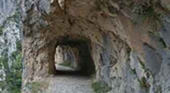
Located within the Picos de Europa mountain range, in northern Spain, Ruta del Cares, also known as Senda del Cares, is one of the most breathtaking trekking trails that can be done in Europe. Be careful if you have vertigo!
The road to Col d’Artzatey is a mule track
Col d’Artzatey is an international mountain pass at an elevation of 662m (2,171ft) above the sea level, located on the Spanish-French border, in the Pyrénées-Atlantiques.
The breathtaking road to Peña Ubiña
Peña Ubiña is a high mountain peak at an elevation of 1.754m (5,754ft) above the sea level, located in the province of León, in the autonomous community of Castile and León, in north-central Spain.
Travel Guide to Torreta de l'Orri
Torreta de l'Orri is a high mountain peak at an elevation of 2.439m (8,001ft) above the sea level, located in the comarca of Pallars Sobirà, in the province of Lleida, Catalonia, in the country of Spain. It’s one of the highest roads of the country.
The Ultimate Guide to Traveling the Collado de Orgambide
Col d'Orgambide-Collado de Orgambide is an international high mountain pass at an elevation of 992m (3,254ft) above the sea level, located on the Spanish-French border.
A very bumpy, grueling road to Villavientos Refuge
Refugio Villavientos, also known as Refugio Pillavientos, is a high mountain refuge at an elevation of 3.094m (10,150ft) above the sea level, located in the region of Andalucia, in the province of Granada, in Spain. It’s one of the highest roads of Europe.
The breathtaking road to Playa Veneguera
Located in Gran Canaria, one of Spain’s Canary Islands, off northwestern Africa, Playa Veneguera is a 370-metre-long beach, one of the few genuinely untouched beaches remaining in Gran Canaria.
A brutally steep road to Alto de Aitana
Alto de Aitana is a high mountain peak at an elevation of 1.543m (5,062ft) above the sea level located in the province of Alicante, in the southern part of the Valencian Community in eastern Spain. The summit is placed within the boundaries of a Spanish army facility.
Piedra de San Martín is a drive worth taking
Piedra de San Martín, or Col de la Pierre Saint-Martin, is a high mountain pass at an elevation of 1.760m (5,774ft) above the sea level, located on the France-Spain border in the western Pyrenees in the department of Pyrénées-Atlantiques (France) and Navarra (Spain).
The brutally steep road to Monte Oiz
Monte Oiz is a mountain peak at an elevation of 1.026m (3,366ft) above the sea level, located in Biscay in the Basque Country (Spain). The climb is simply terrible, going up to 20% gradients. The climb is known for its half-asphalt, half-concrete surface and irregular ramps.
A defiant road through Hoces de Vegacervera canyon
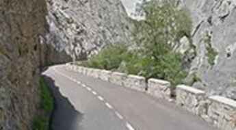
Hoces de Vegacervera is an amazing gorge located in the Province of León, in the community autonomous of Castile and León, in Spain. It’s one of the most scenic canyon roads of Spain.
Driving the wild Peñon Velez de la Gomera
Located in the west of the Mediterranean Sea, Peñón de Vélez de la Gomera is a Spanish rock connected to the Moroccan shore. It is one of seven Spanish enclaves on the northern coast of Morocco, which claims sovereignty over all of them.
Pont sobre el riu Segre: a concrete bridge
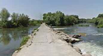
Located in the Lleida province, in Spain's northeastern Catalonia region, the bridge over the Segre river is one of the most spectacular bridges in the world.
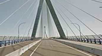
La Constitución de 1812 Bridge, one of the tallest in the world
The Puente de la Constitución de 1812 is a cable-stayed bridge located in Cadiz, in the autonomous community of Andalusia, in southwestern Spain. It’s one of the most spectacular bridges in the world.
The Wild Road to Collado de Basibé
Collado de Basibé is a high mountain peak at an elevation of 2.353m (7,719ft) above the sea level, located in the province of Huesca, Aragon, in northeastern Spain. It's one of the highest roads of the country.
Alto de la Farrapona is a cycling must
Alto de la Farrapona is a high mountain pass at an elevation of 1.708m (5,603ft) above the sea level, located on the border between the Principality of Asturias and the province of León, in Castile and León, in northwest Spain. The pass has already made a name for itself.
A curvy paved road to Puerto de Pandetrave
Puerto de Pandetrave is a high mountain pass at an elevation of 1.562m (5,124ft) above the sea level, located in the province of León, Castile and León, Spain.
Road MP-203, a never finished ghostly construction
MP-203 is an unused highway located two miles south-east of Mejorada del Campo – a small satellite town of Madrid, in Spain.
Puerto de la Cubilla: The Ultimate Road Trip Guide
Puerto de la Cubilla is a high mountain pass at an elevation of 1.692m (5,551ft) above the sea level, located on the border of the province of León, Castile and León and the Principality of Asturias, a region of northwest Spain. The climb is known as the Spanish Galibier.
The inhumane climb to Cerro del Moro
Cerro del Moro is a mountain peak at an elevation of 914m (2,998ft) above the sea level, located in the Province of Málaga, in the autonomous community of Andalusia, on the South-Eastern coast of Spain.
Puerto de Palombera, an absolute must for road lovers
Puerto de Palombera is a high mountain pass at an elevation of 1.260m (4,133ft) above the sea level, located in Cantabria, in northern Spain.
Driving the hairpinned Road T-704 in Prades
T-704 is a paved mountain road located in the province of Tarragona, southern Catalonia in Spain. The road features more than 30 hairpin turns and has been used in the WRC Rally Catalunya.
An iconic road to Puerto de Vegarada
Puerto de Vegarada is a high mountain pass at an elevation of 1.555m (5,101ft) above the sea level, situated between Asturias and León province, in north-western Spain.
Travel guide to Biadós Refuge
Refugio de Biadós is a high mountain refuge at an elevation of 1.779m (5,836ft) above the sea level, located in the heart of the Pyrenees, in the comarca of Ribagorza, province of Huesca, in Spain.
Road trip guide: Conquering Collado El Lobo
Collado El Lobo is a high mountain peak at an elevation of 3.115m (10,219ft) above the sea level, located in the region of Andalucia, in the province of Granada, in Spain. It’s one of the highest roads of Europe.
