Driving the Old Military Road from Shiel Bridge to Glenelg
The Shiel Bridge-Glenelg road is a very scenic drive located in Scotland. It's one of those roads that tends to be missed by most travelers but offers some fantastic views.

When Was the Shiel Bridge-Glenelg Road Built?
Tucked away in the western part of the country, this old military road was originally built in 1815 and rebuilt in the 1980s to replace the earlier route used by the military to reach Bernera Barracks.
How Long Is the Shiel Bridge-Glenelg Road?
The road spans 14.6 km (9.1 miles), linking the villages of Shiel Bridge (on the southeast shore of Loch Duich at the foot of Glen Shiel) and Glenelg.
Is the Shiel Bridge-Glenelg Road Paved?
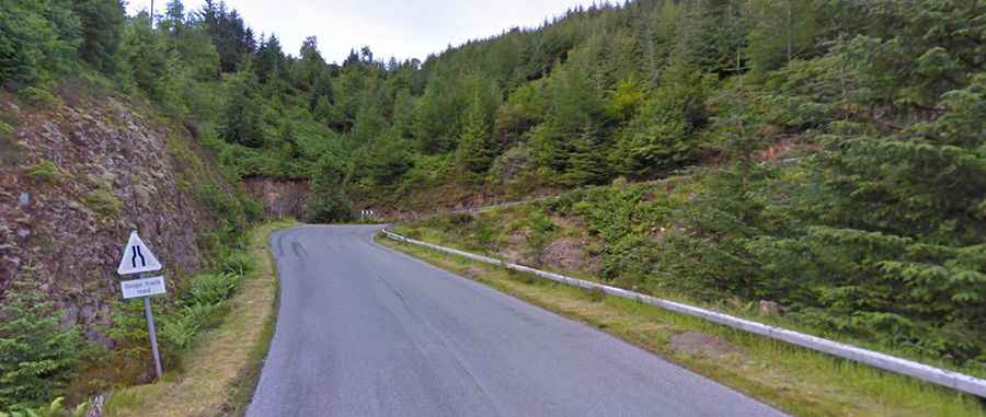
Located in the Scottish Highlands, the road is fully paved but challenging to drive. It constantly winds up, down, left, and right. Parts of it are a single-track road for several kilometers, making it difficult, especially at night or in poor visibility. Some sections have steep gradients of up to 15%. The road takes you through a magnificent, almost alpine-like route, with its highest point at 348m above sea level.
Is the Shiel Bridge-Glenelg Road Worth the Drive?
The road offers one of the finest roadside views in the world, with breathtaking vistas for much of the drive. It's definitely a road trip worth capturing with plenty of photographs. The single-track road winds through Ratagan Forest, and the views from the many passing places and parking spots are stunning. There are numerous viewpoints, both official and unofficial. The area is home to golden eagles and red deer, making it a journey you won't forget—for all the right reasons.
Road suggested by: Richard Wakem