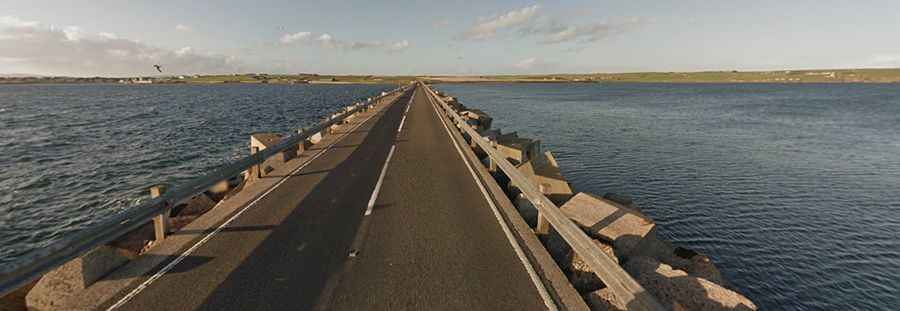
Driving the Churchill Barriers: WWII Naval Defenses Turned Scenic Causeways in Scotland
Located in the Orkney Islands in the Northern Isles of Scotland, the Churchill Barriers are a series of four causeways originally built as naval defenses, linking several small islands on the eastern side of Scapa Flow.

What are the Churchill Barriers?
The four Churchill Barriers are solid road causeways constructed in the 1940s as naval defenses to protect the anchorage at Scapa Flow. Built by Balfour Beatty between 1940 and 1944, with the assistance of Italian prisoners of war captured in North Africa, the barriers were completed on the instructions of Winston Churchill to safeguard the fleet and local residents.
Are the Churchill Barriers in Use?
Today, the barriers are part of the fully paved A961 road, connecting the Orkney Mainland to the islands of Lamb Holm, Glimps Holm, Burray, and South Ronaldsay.
How Long are the Churchill Barriers?
The combined length of the four causeways is 1.5 miles (2.4 km). Stopping on the causeways is prohibited, and caution is advised during severe weather conditions, as crossing is at the driver’s own risk.
How Long is the Road Through the Churchill Barriers?
The entire road, running north-south through the barriers, is 33.15 km (20.6 miles) long, stretching from Kirkwall (the largest town in Orkney) to Burwick, a small harbor on the island of South Ronaldsay.