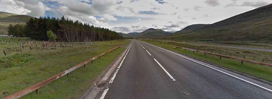
The Pass of Drumochter is an iconic road in the Scottish Highlands
The Pass of Drumochter (Bealach Druim Uachdair) is a mountain pass at an elevation of 463m (1,519ft) above sea level, located in Perth and Kinross, in Scotland. It is regularly closed by winter snowstorms.

Where is the Pass of Drumochter?
The pass is located in the Grampian Mountains, between the northern and southern central Scottish Highlands.
When was the road through the Pass of Drumochter built?
The road to the summit is an old military road built between 1728 and 1730. It was rebuilt in the late 1920s and early 1930s. Nestled between the northern and southern central Scottish Highlands, the pass is the highest point on the road.
How long is the Pass of Drumochter?
The road is fully paved. It’s called the A9 road. The pass is 37.81km (23.5 miles) long, running from Dalwhinnie, on the western edge of the Cairngorms National Park, to Aldclune. The road is reinforced by the narrowness of the glen and the very steep slopes of containing hills.
Is the Pass of Drumochter open in winter?
Always check the weather forecast before you start your journey: adverse conditions are common. In winter, it can be subject to severe weather conditions. The temperature can drop drastically here and the mist suddenly descends, even in the middle of the summer. There are routine winter patrols from November to March.