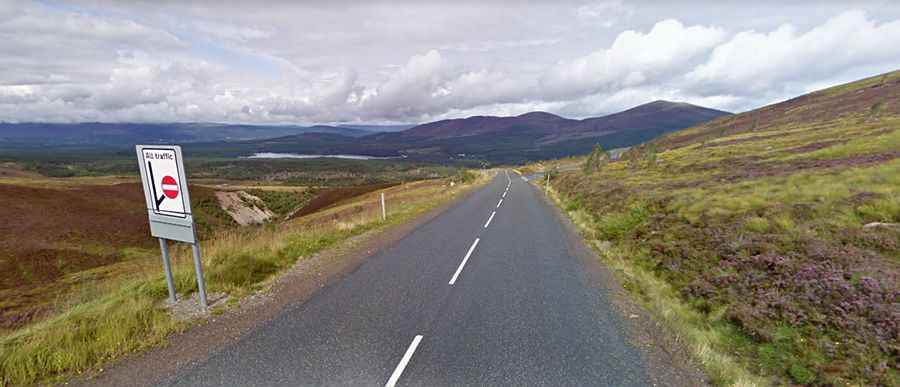
A paved steep road to Cairngorm Mountain in the Scottish Highlands
Cairngorm Mountain is a mountain peak at an elevation of 646 meters (2,119 feet) above sea level, located in the Highlands of Scotland. It's one of the highest roads in the country.
Where is Cairngorm Mountain?
The peak, also known as An Càrn Gorm, is located in the northern part of the country, within Cairngorms National Park. It is home to a ski and snowboard resort.
How long is the road to Cairngorm Mountain?
The road to the summit is fully paved and is called Cairngorm Road. Starting from Glenmore, the ascent is 6.27 kilometers (3.9 miles) long, with an elevation gain of 312 meters (1,024 feet). The average gradient is 4.97%, but it reaches a brutal 17% in some sections. The road peaks at the ski center’s car park.
Is the drive to Cairngorm Mountain worth it?
The drive offers stunning views overlooking Strathspey and the town of Aviemore. However, expect challenging weather conditions, especially during winter.
How to get to the real summit of Cairngorm Mountain?
A chairlift access road climbs up to the summit of the mountain, at 1,091 meters (3,579 feet) above sea level. It is completely unpaved and brutally steep. A 4x4 vehicle is required, but the road is impassable from October to June and closed to private vehicles.