Take the Scenic Route and Discover Pico do Areeiro in Madeira
Pico do Areeiro is a high mountain peak at an elevation of 1.804m (5,918ft) above sea level, located in Madeira, a Portuguese archipelago in the North Atlantic Ocean. At this elevation, it is one of the highest roads in the country.
How long is Pico do Areeiro?
The road to the summit, also known as Pico do Arieiro, is totally paved. Starting at the paved ER103, on Paso do Poiso, it’s 6.6 km (4.10 miles) long.
How steep is the road to Pico do Areeiro?
The road to the top, the third-highest summit on the Island of Madeira, is very steep, with an 11% maximum gradient through some of the ramps. The elevation gain is 421 meters. The average gradient is 6.37%.
Is Pico do Areeiro open?
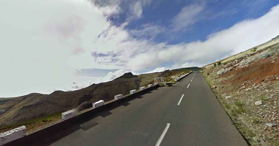
Located in the center of Madeira, in the central mountain range, and surrounded by dramatic mountain scenery with jagged peaks, the road is typically open all year round. Fog is common, and the top of the mountain is often above cloud level.
Is Pico do Areeiro worth it?
The summit hosts a large car park, a restaurant, a souvenir shop, and an Air Defense Radar Station built in 2011. It’s one of the most visited peaks on the island, due to its easy access, extraordinary views, and well-known nature paths to Pico das Torres and Pico Ruivo. The footpath northwards towards Pico Ruivo is an important tourist attraction, with a daily average of 1,000 tourists trekking on it. On the way to Pico do Arieiro, one can admire a unique stone-built pit (looks like a huge igloo) known as “Poço da Neve,” built by an English family who once used to store ice, snow, and hail from the mountains. With good weather, it is possible to see Porto Santo, the neighboring island, 30 nautical miles to the north.