Travel guide to the top of Achada do Teixeira
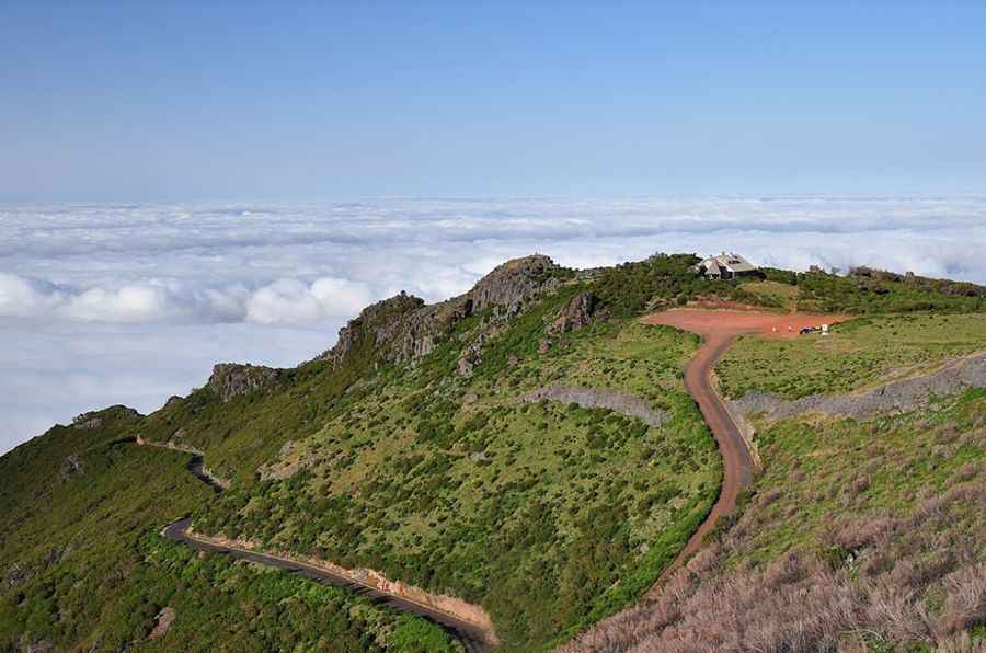
Achada do Teixeira is a high mountain plateau at an elevation of 1.593m (5,226ft) above the sea level, located in the Portuguese island of Madeira.
How do I get to Achada do Teixeira?
Set high on the north central part of the island, the road to the summit is totally paved. Starting at Santana, the road is 9.6 km (5.96 miles) long.
Is the road to Achada do Teixeira steep?
The road to the summit is very steep, hitting a 21% of maximum gradient through some of the ramps. Starting at Santana, the ascent is 9.6 km (5.96 miles) long. Over this distance the elevation gain is 1.083 meters. The average gradient is 11.28%.
How long does it take to drive to Achada do Teixeira?
To drive the road without stopping will take most people between 20 and 30 minutes. Along the way are many viewpoints and lookouts: the drive offers stunning views. The summit hosts refuge huts and a car park to support visitors. The summit is the beginning of the trail up to the island’s highest peak, Pico Ruivo (1862 m).
Pic: Omar Hamdi