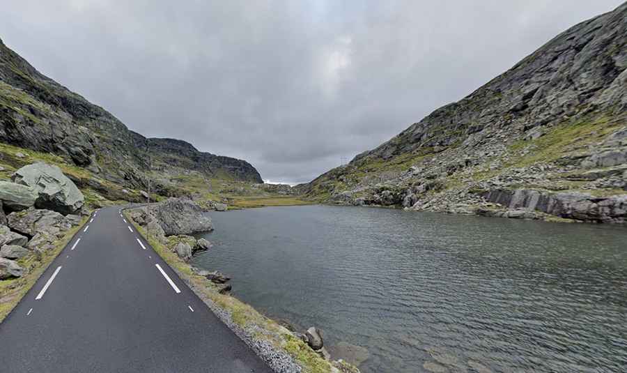
Take the Scenic Road to Roldalsfjellet and Discover the Real Norway
Røldalsfjellet is a mountain pass at an elevation of 1,125 meters (3,690 feet) above sea level, located in Vestland County, in Norway.

How long is the Scenic Road to Røldalsfjellet?
The road to the summit is fully paved but quite narrow. It is called Røldalsfjellet Turistveg (formerly the E134 road). Completed in 1884, the road is 9.8 kilometers (6.08 miles) long, starting and ending at the main E134.
Is the Road to Røldalsfjellet difficult?
The road is extremely narrow and only suitable for cars (2.2 meters width limit) and is closed to vehicles heavier than 3.5 tons. It is quite steep, with a maximum gradient of 11.7% and 8 sharp hairpin turns, so take it slow. Watch out for sheep along the way. Due to its steepness, narrowness, and dangerous winter weather conditions, it has been bypassed by a tunnel called Røldalstunnelen. Part of the E134 road, the tunnel is 4,673 meters long.
Is the Road to Røldalsfjellet open in winter?
Located high in the southern part of the country, the road experiences harsh meteorological conditions every winter. It is closed from October to June (weather permitting) and is also closed in the evenings.
Is the Road to Røldalsfjellet worth the drive?
The drive is extremely scenic and provides excellent views of the Røldal and Odda mountains. At the summit, there is a small lake called Elversvatnet.