How to drive the scenic Hardangervidda National Tourist Route in eastern Norway?
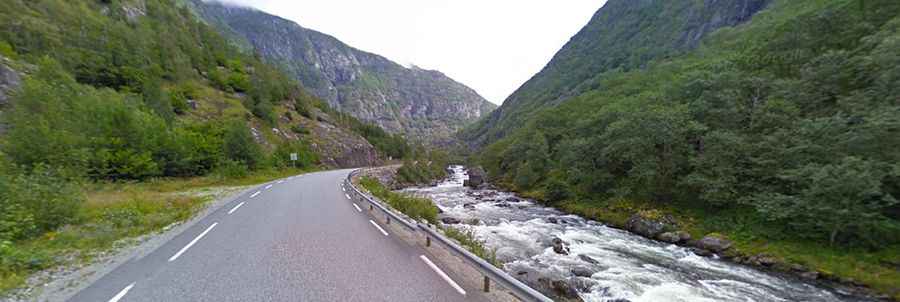
The Hardangervidda National Tourist Route is one of the most scenic drives in Norway. Located in the eastern part of Norway, the drive runs through Hardangervidda National Park and over the biggest high mountain plateau in Northern Europe.
How long is the Hardangervidda National Tourist Route?
The road, officially known as Road 7 (RV7), is fully paved. It’s 67 km (42 miles) long, running from Eidfjord (in the county of Hordaland in Fjord Norway) to Haugastøl (in the county of Buskerud in Eastern Norway). The Hardanger Bridge makes this a ferry-free connection.
Is the Hardangervidda National Tourist Route open in winter?
The road tops out at 1,250 m (4,101 ft) above sea level and it’s open for traffic throughout the year. At times of bad weather in the winter, the road over the mountain plateau may be closed for short periods. Winter tires are required during the winter.
Roads: Road 7
Length: 67km
Highest elevation: 1.250m
Ferries: 0
Winter notice: Open to traffic throughout the year. May be closed for short periods in winter when the weather is bad.