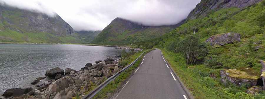
Driving the Scenic Senja National Tourist Route in Northern Norway
Located on the outer coast of the island of Senja, in Norway, the Senja National Tourist Route is one of the most scenic drives in the country.

Where is the Senja National Tourist Route?
Located in the northern part of the country, this gorgeous road is part of the National Tourist Route.
How Long is the Senja National Tourist Route?
The route comprises Road 86 and Road 862. It’s a 90-kilometre-long stretch of road between Gryllefjord and Botnhamn on the island of Senja in the county of Troms. In addition, the official route includes detours to Mefjordvær and Husøya, for an additional 12 kilometres of road.
Is the Senja National Tourist Route Paved?
The winding road is fully paved and narrow here and there (occasionally quite narrow) as it twists and turns.
Is the Senja National Tourist Route Worth the Drive?
The road tops out at 287m (941ft) above sea level. It runs along one of the most beautiful landscapes in Norway. The scenery is stunning. You will stop every minute to admire the steep mountains that plunge deep into the ocean.
Facts:
Roads: Road 86/862
Length: 102km
Highest elevation: 287m asl
Ferries: 0
Winter notice: Open to traffic throughout the year. May be closed for short periods in winter when the weather is bad.