Driving Strada del Vallone di Elva is Well Worth the Time
Strada del Vallone di Elva is a high mountain road located in the Province of Cuneo, in Italy. Known for its steep sections, the road has an average gradient of 8.34%.

Is Strada del Vallone di Elva Paved?
Situated in the Piedmont region of northern Italy, this road is part of Strada Provinciale 104 (SP104). It is paved, though quite narrow, and runs alongside the Torrente Elvo river.
How Long is Strada del Vallone di Elva?
The road, also known as Strada del Vallone del Viandante (Valley of the Hiker), is 9.4 km (5.84 miles) long.
Where Does Strada del Vallone di Elva Start and End?
The road runs from Ponte Marmora (at 922 meters above sea level) to Serre, a small town at 1,640 meters above sea level. The elevation gain is 718 meters, with an average gradient of 8.34%. The road reaches its highest point at 1,664 meters (5,459 feet) above sea level.
How Challenging is the Strada del Vallone di Elva?
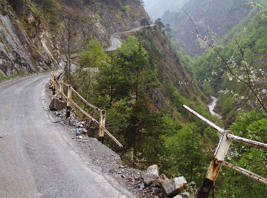
This narrow, winding mountain road runs along rocks and cliffs, with more than 30 tunnels along the route. The road’s tight corners and steep drops can make your palms sweat just by looking at photos. In the past, there were no barriers, and while tiny steel protections are in place now, they won't stop your vehicle from going over the edge. Rockslides are a common hazard on this route, adding to the challenge.
Pic: Marco Ferrari