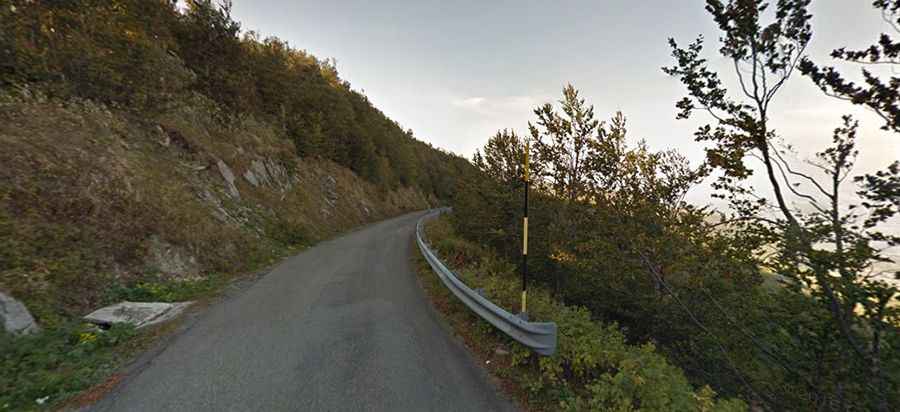
The road to Radici Pass: be ready to make room for oncoming vehicles
Passo delle Radici is a high mountain pass at an elevation of 1,529m (5,016ft) above sea level, located on the boundary between the Emilia-Romagna and Tuscany regions in Italy.

Where is Passo delle Radici?
The pass is situated in the north-central part of the country, high in the Italian Apennines. At the summit, there’s a hotel, a bar-restaurant, and a small mountain chapel. South of the pass, a tiny paved road climbs up to Passo di Pradaccio, at an elevation of 1,617m (5,305ft) above sea level.
Is the road to Passo delle Radici paved?
The road to the summit is totally paved but quite narrow. It’s called Strada Provinciale 72 del Passo delle Radici (northern side) and Strada Provinciale 324 (southern side). The drive is steep, with a maximum gradient of 10% through some ramps.
How long is the road to Passo delle Radici?
The pass stretches 37.5km (23.30 miles), running west-east from Castiglione di Garfagnana (in the province of Lucca) to Pievepelago (in the province of Modena).