An old military road to Dordona Pass
Passo di Dordona is a high mountain pass at an elevation of 2,074m (6,804ft) above sea level, located in the Province of Bergamo, in Italy.
Where is Dordona Pass?
The pass is located in the region of Lombardy, in the northern part of the country. It links the upper Val Brembana with Val Madre.
Is the road to Dordona Pass unpaved?
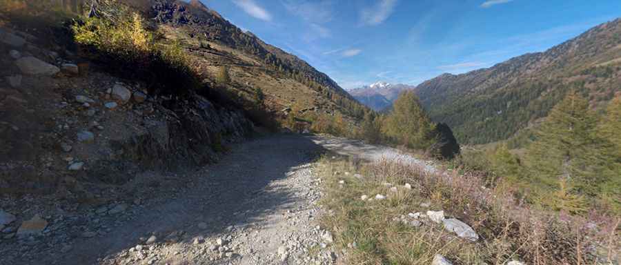
The road to the summit is totally unpaved. It was opened to traffic in 2003. Pay attention to loose gravel. It’s called Strada del Passo Dordona and Strada della Val Madre.
Is Dordona Pass worth the drive?
Near the summit, there’s a mountain refuge called Rifugio Dordona. Along the way, there are several military constructions from WWI. Right on the pass, there’s a tunnel dug into the rock, which leads to an observatory overlooking a large part of Val Madre.
Is the road to Dordona Pass open in winter?
Set high in the Orobie Alps, the road is impassable in winter and after heavy rains.
How challenging is the road to Dordona Pass?
A 4x4 vehicle is required. The road is narrow and features very steep sections, up to 13%, but the track offers a very nice high alpine landscape.
How long is the road to Dordona Pass?
The pass road is 21.5 km (13.35 miles) long, running south-north from Foppolo to Fusine. To drive on this path, it is necessary to buy a license (around 3 euros).
Pic: Matteo Negri