The inhumane climb to Rifugio Angelo Bosi al Monte Piana with 29% ramps
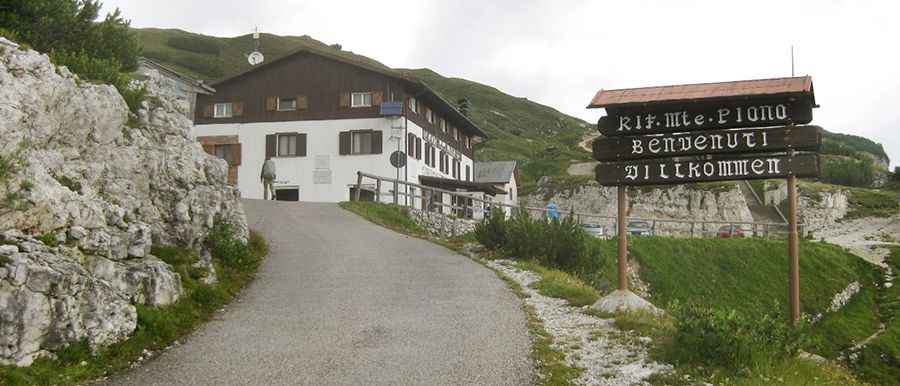
Rifugio Angelo Bosi al Monte Piana is a high mountain refuge at an elevation of 2,212m (7,257ft) above sea level, located in the Province of Belluno, in Italy.
Where is Rifugio Angelo Bosi al Monte Piana?
The refuge is located in the Veneto region, in the northeastern part of the country, near the famous Tre Cime di Lavaredo. This area was the theater of conflicts between Italian and Austro-Hungarian troops during World War I. Monte Piana has many relics from the First World War and is a popular place for tourists to visit.
Why is it called Rifugio Angelo Bosi al Monte Piana?
The hut is named after Maggiore Angelo Bosi, a hero of the Italian army who was killed on July 17, 1915.
Is the road to Rifugio Angelo Bosi al Monte Piana paved?
Tucked away in the Dolomite Alps mountain range, the road to the alpine hut is partly paved. It’s an old military road, very narrow and steep. The road was resurfaced in 1998. Even though the new road is very fine and, apart from two short flat stretches, totally asphalted, there are asphalted ramps at 29% with thick layers of gravel on it (outside the wheel tracks).
How long is the road to Rifugio Angelo Bosi al Monte Piana?
Located on the southern side of Monte Piana, the road to the hut is 5.5 km (3.41 miles) long, starting from Misurina Pass. The road is totally closed to private vehicles (only local taxis) but open to bikes.
Pic: Giovanni Malinverni