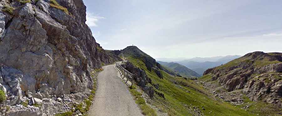
Adventure along the narrow road to Colle di Valcavera
Colle di Valcavera is a high mountain pass at an elevation of 2,416m (7,926ft) above sea level, located in the Province of Cuneo in Italy.

Where is Colle di Valcavera?
The pass is situated in the Piedmont region, in the northwestern part of Italy, near the French border.
Is Colle di Valcavera paved?
The road to the summit is fully paved but features extremely narrow and sometimes bumpy, with broken sections. It has countless curves and is quite steep, reaching a 15.0% maximum gradient through some of the ramps. The pass has been climbed in the Giro d’Italia bicycle race and boasts a never-ending series of hairpins.
How long is Colle di Valcavera?
The pass is 47 km (29.2 miles) long, running north-south from Ponte Marmora to Demonte. It’s the same road to reach Colle del Vallonetto, Colle d'Esischie, and Colle Fauniera.
Is Colle di Valcavera open in winter?
Set high in the Cottian Alps, in the southwestern part of the Alps, the road is closed in winter.