A 5-Star Road to Monte Croce di Comelico Pass
Passo Monte Croce di Comelico is a high mountain pass at an elevation of 1,636m (5,367ft) above sea level, located on the boundary between South Tyrol and Belluno provinces, in Italy.
Where Is Monte Croce di Comelico Pass?
The pass, also known as Kreuzbergpass, marks the border between the Autonomous Province of Bolzano and the region of Veneto, in the northern part of the country, near the Austrian border. The pass is also the division line between the Dolomites to the west and the Carnic Alps to the northeast.
What’s at the Summit of Monte Croce di Comelico Pass?
At the summit, there’s a big parking lot, a small chapel, a hotel, and a restaurant.
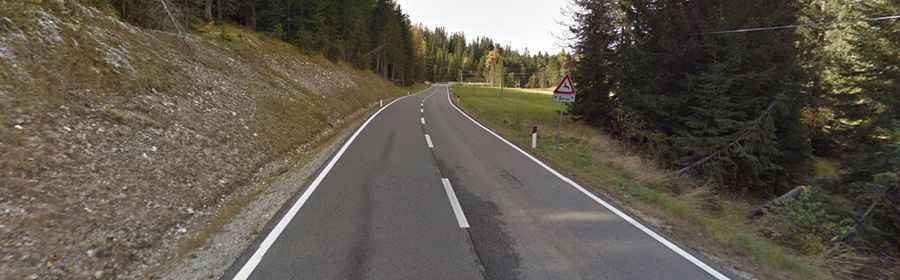
Is the Road to Monte Croce di Comelico Pass Paved?
The road through the summit is fully paved and in very good condition. It’s called Strada Statale 52 (SS52 road). The pass has been climbed by the Giro d’Italia bicycle race.
How Long Is the Road Through Monte Croce di Comelico Pass?
The pass is 37km (23 miles) long, running south-north from Santo Stefano di Cadore (in the province of Belluno) to San Candido (in the province of South Tyrol).