An Iconic Road to Valles Pass in the Dolomites
Passo Valles is a high mountain pass at an elevation of 2,032m (6,667ft) above sea level, located on the boundary between the Veneto and Trentino Alto Adige regions in Italy.
Where is Valles Pass?
The pass is located in the northeastern part of the country, in incomparable surroundings, within the Dolomites mountain range. North of the summit, a minor unpaved road climbs up to Forcella di Pradazzo at an elevation of 2.225m (7,299ft) above sea level.
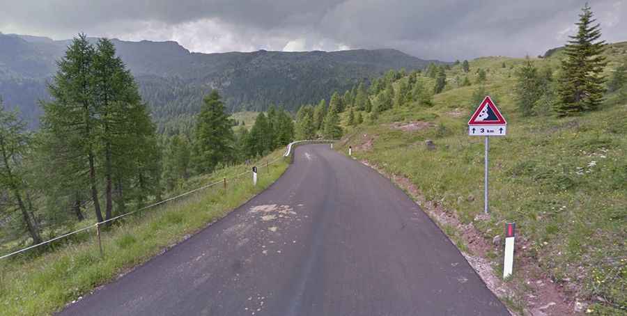
Is Valles Pass Paved?
The road to the summit is fully paved and is called Strada Provinciale 81 (SP81). The road over the pass was built during the First World War to move supplies to the fortifications of the Marmolada Mountain Group.
How Long is Valles Pass?
The pass is 13.8 km (8.57 miles) long, running west to east from Paneveggio (Trentino) on the SS50 road towards Pie' Falcade (Belluno) on the SP346 road.
How Steep is Valles Pass?
Starting from Paneveggio, the ascent is 6 km long, with an elevation gain of 493 meters. The average gradient is 8.2%. Starting from Falcade Alto, the ascent is 7.3 km long, with an elevation gain of 638 meters. The average gradient here is 8.7%.