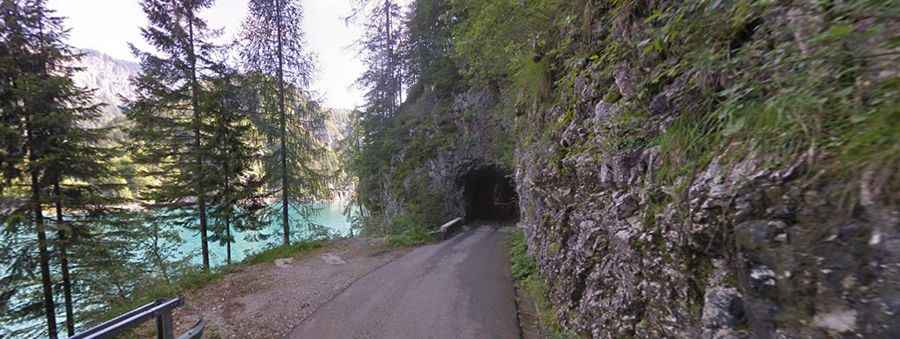
Driving the defiant Via San Valentino to Pura Pass
Passo del Pura is a mountain pass at an elevation of 1.445m (4,740ft) above sea level, located in the Province of Udine, in Italy.

Where is Pura Pass?
The pass is located in the Friuli-Venezia Giulia region, in the northern part of the country, near the Austrian border. At the summit there’s a small parking lot
Is the road to Pura Pass paved?
Set high in the Carnia mountain area of the Apennines mountain range, the road to the summit, also known as Pas dal Pure and Passo Pura, is totally paved. It is called Via San Valentino.
How long is Pura Pass?
The pass is 15.4 km (9.56 miles) long running north-south from SP73 to SS52 roads. To drive the road without stopping will take most people between 25 and 35 minutes.
How challenging is Pura Pass?
The drive is pretty challenging, with narrow parts, poor surface, unlit tunnels, a high risk of rock slides, crossing the defiant Diga della Maina dam and facing 28 hairpin turns. The pass has featured in the Giro d’Italia bicycle race. The road is very steep, hitting a 12% of maximum gradient through some of the ramps.