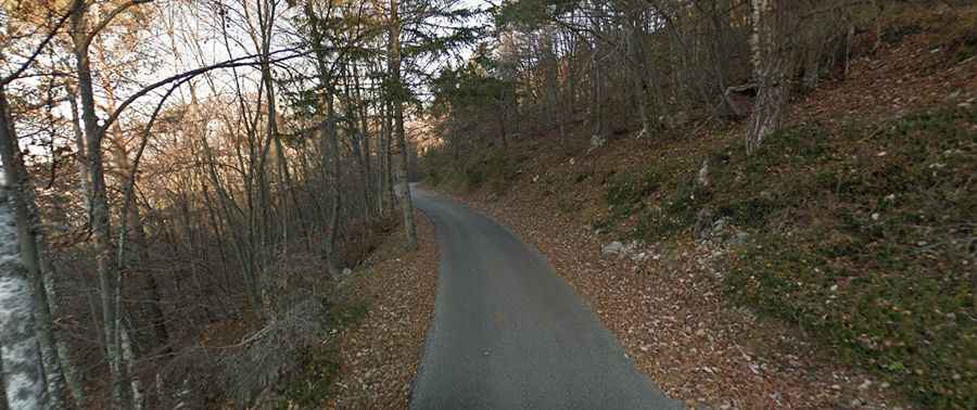
A narrow road to the summit of Monte Altissimo in Trentino
Monte Altissimo is a high mountain peak at an elevation of 2,069m (6,788ft) above sea level, located in Trentino, Italy. If you’re not comfortable driving on narrow mountain roads, it’s best to avoid it.
Where is Monte Altissimo?
The peak is located in the Trentino-Alto Adige/Südtirol region, in the northern part of Italy.
What’s at the summit of Monte Altissimo?
The summit features several structures, including a mountain refuge known as Rifugio Damiano Chiesa, an open-air museum, a small chapel, a military observatory, and even a heliport.
Is the road to Monte Altissimo paved?
The road starts in Torbole, near Lake Garda, at 70m above sea level. It is fully paved at the beginning but suddenly turns into gravel. The first 15.4 km has an average gradient of 9.4%. The asphalted section ends at a parking lot known as Parcheggio Stanga. At this point, the road switches to sterrato (gravel) and is closed to vehicles. It continues up to Monte Varagna (1,779m) and the top of Monte Altissimo. Over just 3.8 km, the gradient averages 13.7%. The overall climb is quite challenging: 19.2 km at an average of 10.3%.
How challenging is the drive to Monte Altissimo?
The road, known as Strada del Monte Baldo (M. Altissimo di Nago), has very steep sections and narrow parts. Drivers should be especially cautious when traveling in larger vehicles and try to avoid peak times to minimize oncoming traffic.
Is the road to Monte Altissimo worth the drive?
The stunning views of Lake Garda make the journey worthwhile. On clear days, visitors can see the Adamello, the Brenta Group, the Pasubio Massif, and the Small Dolomites. From Monte Altissimo, you’ll enjoy breathtaking panoramic views of Lake Garda, the Po Valley, the Dolomites, and the Alps.