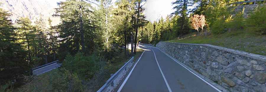
Colle San Carlo is an Absolute Must for Road Lovers
Colle San Carlo is a high mountain pass at an elevation of 1,954m (6,410ft) above sea level, located in the Valle d’Aosta region of Italy.

Is the Road to Colle San Carlo Paved?
The pass is located in the north-western part of the country, in the Graian Alps, a mountain range in the western part of the Alps. The road to the summit is totally paved and is called Strada Regionale 39 (SR39).
How Long is the Road to Colle San Carlo?
The pass is 18.5 km (11.49 miles) long, running west-east from La Thuile to Morgex. There’s almost no traffic. The road features countless curves and hairpin turns.
How Steep is the Climb to Colle San Carlo?
This pass has been featured several times in the Giro d’Italia race. It’s a very steep drive, hitting a 13.0% maximum gradient through some of the ramps. Starting from La Thuile, the ascent is 7 km long. Over this distance, the elevation gain is 530 meters, with an average gradient of 7.6%. Starting from Morgex, the ascent is 10.5 km long. Over this distance, the elevation gain is 1,049 meters, with an average gradient of 10%, but sections exceed 13%.