Colle Sestriere is a drive worth taking in the Cottian Alps
Colle Sestriere is a high mountain pass at an elevation of 2,035m (6,677ft) above sea level, located in the Metropolitan City of Turin, Italy.
Where is Colle Sestriere?
The pass, also known as Col de Sestriere, is located in the Piedmont region, in the northwestern part of Italy, just 17 km (11 mi) from the French border, within the Susa Valley. It is named after the town of Sestriere, which sits at the pass and is a charming alpine village with a population of 880.
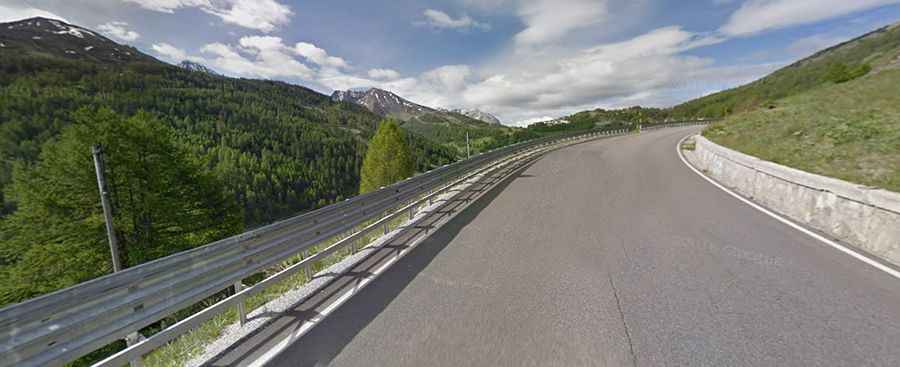
Is the road to Colle Sestriere paved?
The road through the pass is fully paved and is known as Strada Provinciale 23 del Colle di Sestriere (SP23R). It is a very pleasant route, featuring many turns and generally good road conditions.
How long is Colle Sestriere?
Set high in the Cottian Alps, the road through the summit stretches 49km (30 miles), running west to east from Cesana Torinese to Perosa Argentina, about 40 km northwest of Turin.
How steep is Colle Sestriere?
The pass has been a key climb in both the Giro d’Italia and the Tour de France.
- Starting from Perosa Argentina, the ascent is 37.9 km long, with an elevation gain of 1,427 meters and an average gradient of 3.8%.
- Starting from Cesana Torinese, the ascent is 11.5 km long, with an elevation gain of 679 meters and an average gradient of 5.9%.