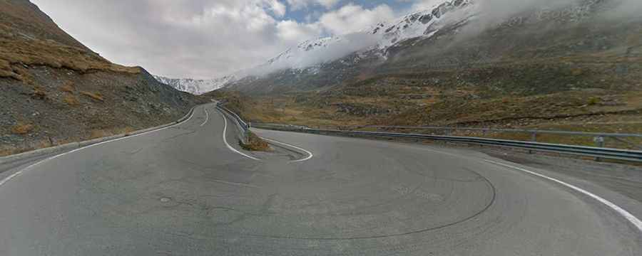
The Road to Foscagno Pass: The Ultimate Alpine Driving Adventure
Passo di Foscagno is a high mountain pass at an elevation of 2,308m (7,572ft) above sea level, located in the province of Sondrio, in the Lombardy region of Italy.

Is Passo di Foscagno Accessible by Car?
The road to the summit, called Strada Statale 301 (SS301), is fully paved and well-maintained. Consider adding a detour through Forcola di Livigno for a complete experience. Although both sides of the pass are in Italy, a customs checkpoint at the summit exists due to Livigno's duty-free status.
How long is the road to Foscagno Pass in the Alps?
The road is 36.1 km (22.43 miles) long, running from Bormio to Livigno. Watch out for avalanche galleries along the way and enjoy stopping at the villages.
Is the road to Passo di Foscagno in the Alps steep?
Tucked away in the northern part of the country, the road to the summit features a challenging maximum gradient of 9.0% in some sections. From Ponte del Rezz near Livigno, the climb covers 4.61 km with a 270-meter elevation gain, averaging a gradient of 5.9%. Starting from Bormio, the ascent is 24.25 km long, with a rise of 1,071 meters and an average gradient of 4.4%. Starting your journey from Bormio, a starting point for other famous passes like Passo dello Stelvio and Passo di Gavia, provides a moderately challenging drive.
Is the road to Foscagno Pass in the Alps open year-round?
The road, situated high in the western Rhaetian Alps, remains open year-round. Check weather forecasts before setting out as conditions can change quickly.