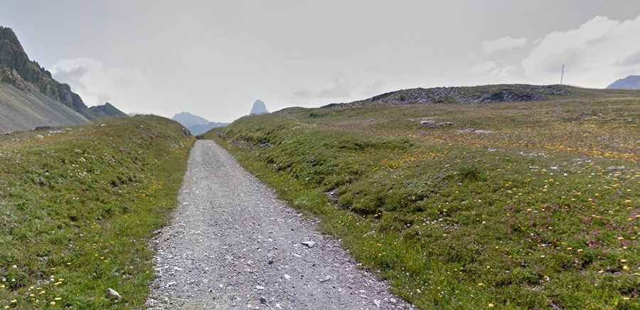
An Old Military Unpaved Road to Gardetta Pass in the Cottian Alps
Passo della Gardetta is a high mountain pass at an elevation of 2,442m (8,011ft) above sea level, located in the Province of Cuneo, in Italy.

Is the Road to Gardetta Pass Unpaved?
Tucked away in the Piedmont region, in the northern part of the country, the road to the summit is completely unpaved. It’s an old military road.
How Long is the Road to Gardetta Pass?
Starting from Marmora, the road to the summit is 15.1 km (9.38 miles) long. It’s fully drivable, but closed to private vehicles. A 4x4 vehicle is required.
Is the Road to Gardetta Pass Open in Winter?
Set high in the Cottian Alps, a mountain range in the southwestern part of the Alps, the track is usually impassable from October to June.
Is the Road to Gardetta Pass Worth the Drive?
The track runs through the Altopiano della Gardetta (Gardetta Plateau) and offers scenic views of the landscape. Along the way, you’ll encounter many old military barracks in ruins and a memorial dedicated to soldiers who tragically perished while cleaning up the area after World War I. Below the pass, four World War II bunkers have been preserved. Near the summit, an old military barrack used during World War II has been properly restored, and since 1989, it has been the Gardetta shelter at an elevation of 2,335m. From the top of the pass, you can enjoy the unique and wild views of the Oronaje mountains and the Unerzio Valley (Acceglio).