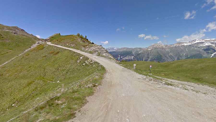
Travel guide to the top of Colle Blegier
Colle Blegier is a high mountain pass at an elevation of 2,381m (7,811ft) above sea level, located in the Province of Torino, Italy. It’s the fourth pass on the Assietta Road.

Where is Colle Blegier?
The pass is located in northern Piemonte, in the northern part of the country, within the Parco Naturale del Gran Bosco di Salbertrand, between Mount Genevris and Colle Lauson.
Is Colle Blegier unpaved?
The road to the summit is mostly unpaved. It’s called Strada Provinciale 173 (Assietta Road) and is 39.3 km (24.23 miles) long, running almost entirely above 2,000 meters above sea level.
Is Colle Blegier open?
The road is only open from June 1st to October 31st, and transit is forbidden to vehicles over 3.5 tons in weight and vehicles over 2 meters wide. Currently, during the holiday months of July and August, bans on Wednesdays and Saturdays from 9 a.m. to 5 p.m. are in effect.
When was the road through Colle Blegier built?
The road to the summit was built in 1890 by the 3rd Reggimento Alpini to reach the area of Genevris, which houses the observatory and the barracks.