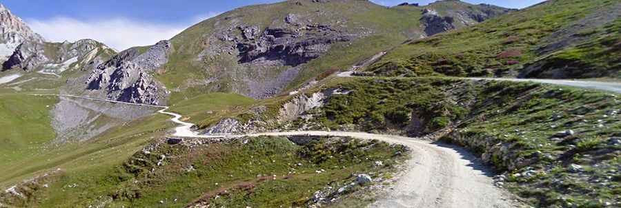
Driving the Unpaved Road to Margherina Pass
Colle Margherina is a high mountain pass at an elevation of 2,420m (7,939ft) above sea level, located in the Province of Cuneo, in Italy.

Where is Colle Margherina?
The pass is located in the Piedmont region, about 100 km southwest of Turin and 40 km west of Cuneo, in the northern part of the country, near the border with France. The pass crosses the watershed between the Maira and Stura valleys.
How long is Colle Margherina?
The pass is about 23.5 km (14.60 miles) long, running from Gias Bandia to Acceglio.
Is Colle Margherina unpaved?
The road to the summit is fully unpaved and rough in places. It’s an ex-military natural surface cart track with a modest slope. The road is quite challenging, with narrow sections, a lot of dust, sharp turns, and a few drop-offs. Along the route, there are several obsolete military barracks.