A brutally steep unpaved road to Col de Varda
Col de Varda is a high mountain pass at an elevation of 2,115m (6,938ft) above sea level, located in the Province of Belluno, Italy.
Where is Col de Varda?
The pass is located in the Veneto region, in the northern part of the country.
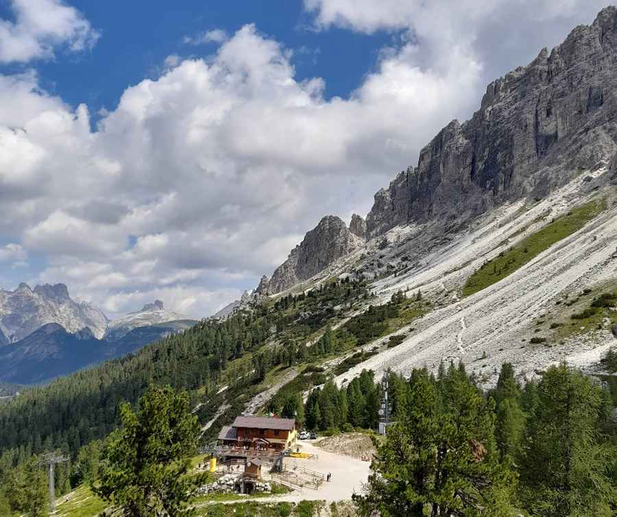
What’s at the summit of Col de Varda?
At the summit, there’s a mountain hut known as Rifugio Col De Varda. The drive provides breathtaking views over the Misurina Valley and surrounding mountains.
Is the road to Col de Varda unpaved?
Set high in the Dolomites-Alps, the road to the summit is completely unpaved and extremely steep. A high-clearance vehicle is required. The road is totally impassable in winter and was recently closed to private vehicles.
How long is the road to Col de Varda?
Starting from Misurina Pass, the road is 2.7 km (1.6 miles) long. Over this distance, the elevation gain is 358m, with an average gradient of 13.25%.
Pic: Dorota K.