Mount Leinster in Ireland: a steep road to the summit
Mount Leinster is a mountain peak at an elevation of 786m (2,578ft) above sea level, located in the province of Leinster, in Ireland. It’s said to be the highest paved road in Ireland.
Where is Mount Leinster?
The peak is located on the boundary between Carlow and Wexford counties, in the southeastern part of the country.
Can you drive to Mount Leinster?
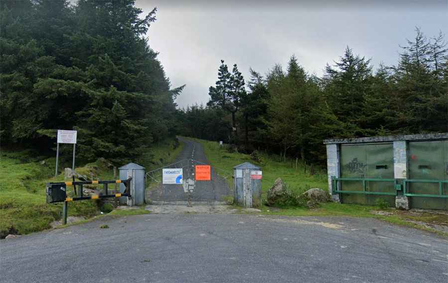
Set high in the Blackstairs Mountains, the road to the summit, also known as Stua Laighean, is totally paved but in awful shape. It’s called 2RN access road.
When was the road to Mount Leinster built?
The road runs to the top to service the array of masts on the summit. Fully operational since 1963, a tall RTÉ television transmitter tops the peak with a mast height of 122m. The steep RTÉ access road to the summit is blocked by a gate to normal traffic, and RTÉ has now fenced off the transmitter tower from public access to prevent vandalism.
Is the road to Mount Leinster worth it?
The drive offers fantastic views of the Irish countryside. Look out for wildlife. It’s a popular location for hang-gliding enthusiasts to launch from. Inclement weather, such as high winds or rainstorms, is common. It is the highest point of both Carlow and Wexford.
Is the road to Mount Leinster steep?
The road to the summit is very steep, hitting a 17% maximum gradient through some of the ramps. Starting at Nine Stones, a landmark point at the foot of Mount Leinster, the ascent is 2.6 km (1.61 miles) long. Over this distance, the elevation gain is 335 meters. The average gradient is 12.88%. Mount Leinster has been featured in stages of the Tour of Ireland.