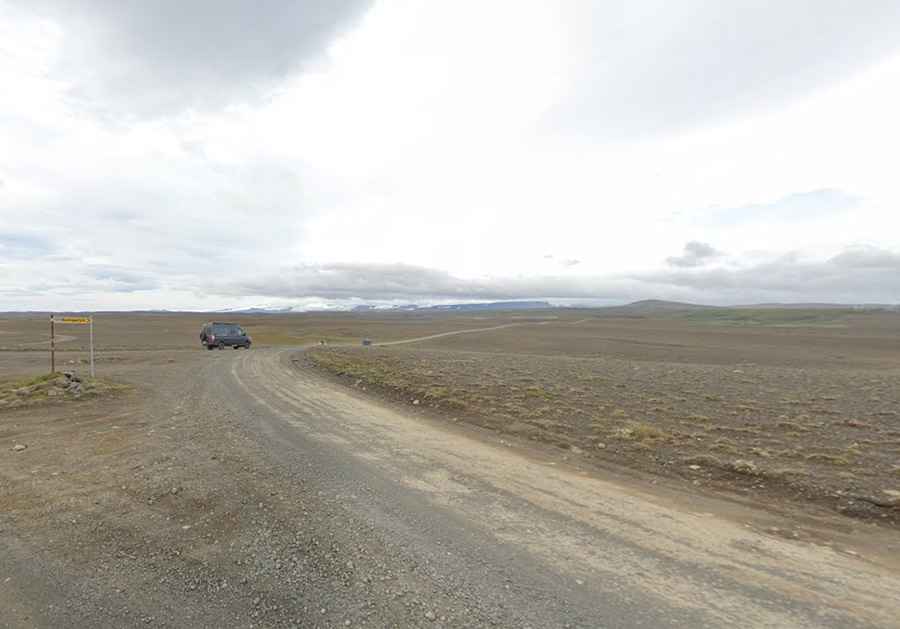
Driving the challenging Road F347 in Iceland
F347 (Kerlingarfjallavegur) is a demanding road located in the central part of Iceland. It's only suitable for 4x4 vehicles with very high ground clearance: along the way, there are two unbridged streams to cross. It’s one of the famous F Roads in the country.

Where is F347 Located?
The road is 16 km (9.94 miles) long. It runs from 35 Road south of Svartárbotnar towards a mountain called Kerlingarfjöll Mountain, or Woman's Mountain. It ends at 1,071 m (3,513 ft) above sea level. It’s one of the highest roads in the country.
Is the F347 Road Paved?
The road is totally unpaved. It is a rough and challenging road only for 4-wheel drive vehicles with high clearance. The track is pretty bad, not rolling, with a lot of big rocks. It is a road that is under no circumstances suitable for small cars. The drive is quite remote, so extreme care is required.
When is F347 Open?
Tucked away in the central Highlands, the road is only open during the summer months, usually between late June and early September.
Are There Rivers to Cross on F347?
There are two unbridged streams to cross, one shallow and one deeper. Crossing large rivers requires experience and should never be attempted alone or in heavy rain. Rising water levels from rain or warm temperatures can make river crossings treacherous. Only well-equipped jeeps and larger vehicles are suitable for these conditions, and smaller vehicles are not recommended for crossing this river. In case of emergency, call 112. Always check that the water isn’t too deep before crossing, as river levels can rise quickly with changes in weather. Note that rental car insurance typically does not cover water-related damages, including those from river crossings.