Adventure along Road F752 in North Iceland
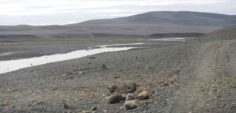
Located on the high plateau of North Iceland, F752 (Skagafjarðarleið) is a very challenging journey with breathtaking landscapes, traversing a strikingly barren stretch of land.

Located on the high plateau of North Iceland, F752 (Skagafjarðarleið) is a very challenging journey with breathtaking landscapes, traversing a strikingly barren stretch of land.
How long is Road F752?
Tucked away in the Icelandic mid-highlands, the road, also known as Skagafjörður Route, is 121 km (75 miles) long. It begins as a paved road (752) and then transitions to gravel (F752).
How challenging is Road F752?
It’s one of the famous F Roads in the country. The road is unserviced, crossing a pebbled plain with several streams, creeks, and rivers that need to be forded. Crossing large rivers requires some experience, and only well-equipped jeeps and larger vehicles are capable of safely doing so. These rivers can be dangerous, so always check their depth before crossing. The road is stunning during the day but can be dangerous at night. It’s a rough and challenging route, only suitable for 4-wheel drive vehicles with high clearance. Expect large potholes, ruts, and boulders along the way.
Where does Road F752 start and end?
The road runs north to south from Varmahlíð, a small village near Skagafjörður in the northern part of the country, to F26 Road (Sprengisandsleið). Surrounded by lunar landscapes, the road is quite bumpy and remote, and you’re likely to be alone as it’s not very busy.
Is Road F752 open in winter?
It’s one of the highest roads in the country, climbing up to 744m (2,440ft) above sea level. It’s only open during the summer months, typically between late June and early September.
Pic: viherlandia