Driving the Scenic Road 832 Through Vadlaheidi Pass in North Iceland
Vaðlaheiði is a mountain pass at an elevation of 544m (1,784ft) above sea level, located in northern Iceland. The road to the summit is closed to passenger vehicles—4x4 only. At this elevation, it’s one of the highest roads in the country.
Where Is Vaðlaheiði Pass?
The pass is located just outside of Akureyri, on the east coast of Eyjafjörður fjord, in the northern part of the country.
Is the Road to Vaðlaheiði Pass Unpaved?
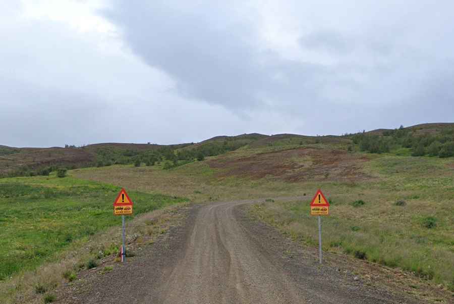
The road through the pass is completely unpaved. It’s called Road 832 (Vaðlaheiðarvegur) and offers dramatic mountain and river views, making it perfect for photographers and nature enthusiasts.
How Long Is Vaðlaheiði Pass?
The pass is 19.0 km (11.8 miles) long, running east-west from Road 833 (Íllugastaðavegur) to Road 828 (Veigastaðavegur). Due to the challenging mountainous terrain, the iconic Ring Road bypasses the pass and runs slightly to the south through a tunnel.
How Challenging Is Vaðlaheiði Pass?
The road is quite challenging, featuring 14 hairpin turns and very steep sections. It even includes a small unbridged stream crossing. The pass is only open during the summer months.
Can I Drive My Vehicle on Road 832 to Vaðlaheiði Pass?
While the road might be manageable in a 2WD vehicle under good weather conditions, it is restricted to 4WD cars. Despite not being an F-road, the maximum weight limit is 5 metric tons. If you are uncomfortable with mountain driving, this route is not recommended.