How To Have The Ultimate Road Trip Through Haukadalsskardh Pass
Haukadalsskarð is a mountain pass at an elevation of 375m (1,230ft) above sea level, located on the western coast of Iceland.
How long is the road through Haukadalsskardh?
The road through the pass is the infamous Road F586. It’s 34.8 km (21.62 miles) long, running west-east from Road 60 to the Ring Road. The road begins at Road 60 and becomes F586 as it climbs out of the valley and over the pass.
Is the road through Haukadalsskardh unpaved?
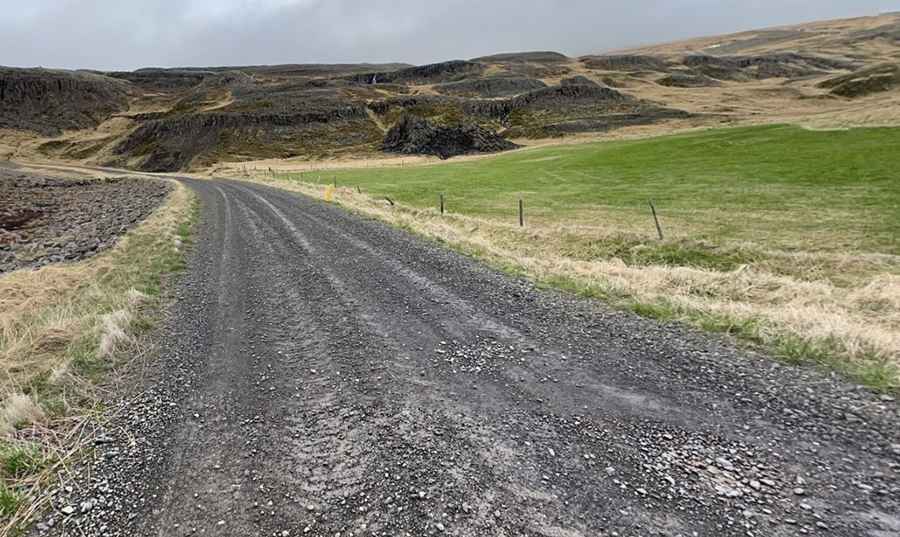
The rough and challenging road is completely unpaved. It’s one of the famous F Roads of the country, with narrow and steep sections. Along the way, you cross a narrow river several times and may encounter some small creeks or puddles, usually no more than ankle-deep.
Is the road through Haukadalsskardh open in winter?
It’s only open during the summer months, typically between late June and early September. Expect minimal traffic; this track runs alongside a river and is very remote. The road traverses incredible landscapes.
Pic: Thorsten Abelius