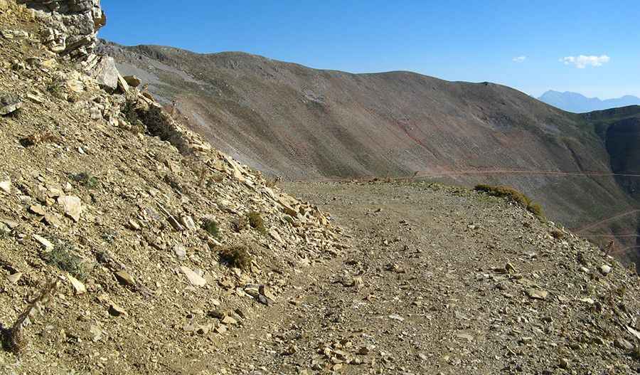
Driving one of the highest Greek roads to Panachaiko
Panachaiko is a high mountain peak at an elevation of 1.801m (5,908ft) above sea level, located in the Achaea region of Greece. It’s one of the highest roads of the country.

Where is Panachaiko?
The peak is located east of Patras, on Peloponnese's northern part, in the southern part of the country.
Why is Panachaiko famous?
The mountain is known to the locals as Vodias. It’s home to Aeolic Park Panachaikou, the country's largest wind farm, with 40 generators, which opened in 2006, and two communications stations. Standing on the peak, one can enjoy a view of Patras and the gulf of Patras, the rest of Peloponnese’s mountains as well as the mountains of mainland Greece.
Is the road to Panachaiko unpaved?
The road to the summit is totally unpaved. The road is not easy, featuring narrow parts and dangerous drop offs. 4x4 vehicle recommended. Expect fog and snow in winters. Access to the summit is typically open all year round, with the occasional closure in winters due to dangerous weather conditions.
How long is the road to Panachaiko?
The road is steep, hitting a 12.3% of maximum gradient through some of the ramps. Starting at Gkotseika, the ascent is 16.2 km (10 miles) long. Over this distance, the elevation gain is 1.012 meters. The average percentage is 6.24%.
Pic: Panagiotis Stefanopoulos