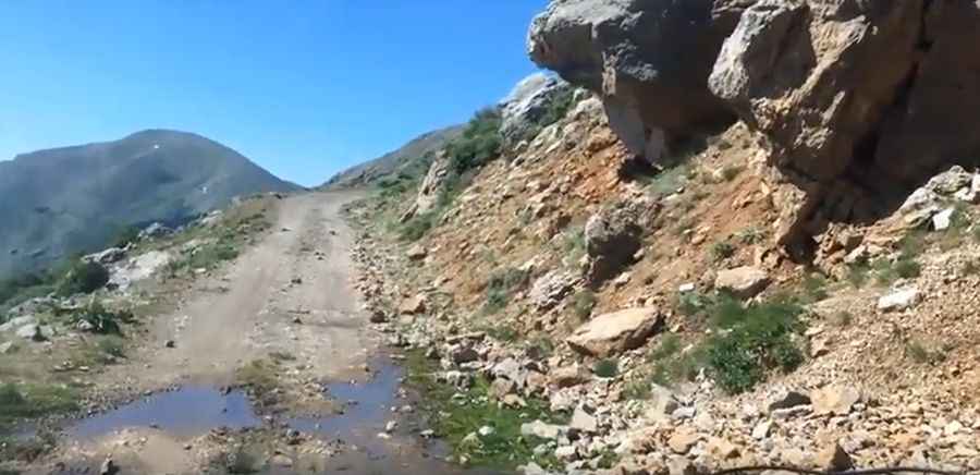
A Greek 4x4 track to Mount Kyllini
Mount Kyllini is a high mountain peak at an elevation of 2.376m (7,795ft) above sea level, located in the west of the prefecture of Corinthia in Greece. It's one of the highest roads in the country.

Is the road to Mount Kyllini unpaved?
The road to the summit, also known as Mount Cyllene, is entirely unpaved, with many hairpin turns, very narrow parts, dangerous drop-offs, and steep sections. It’s not a Sunday drive—a 4x4 vehicle is required.
Is the road to Mount Kyllini open in winter?
It’s usually impassable from October to June (weather permitting). Due to the high elevations and exposure, the road is subject to strong winds and rapid weather changes.
Is Mount Kyllini worth the drive?
The Peloponnesus area offers much opportunity for 4x4 tracks. From the top a large portion of northeastern Peloponnesus is visible, including the eastern part of Achaia and Chelmos, the Gulf of Corinth and most of Corinthia, the southern part of Corinthia and parts of northeastern Arcadia.
How long is the road to Mount Kyllini?
Tucked away in the Peloponnesus peninsula, the road to the summit is 11.8 km (7.33 miles) long starting from Ziria. 4x4 vehicle required.
Pic&video: Bas Brand