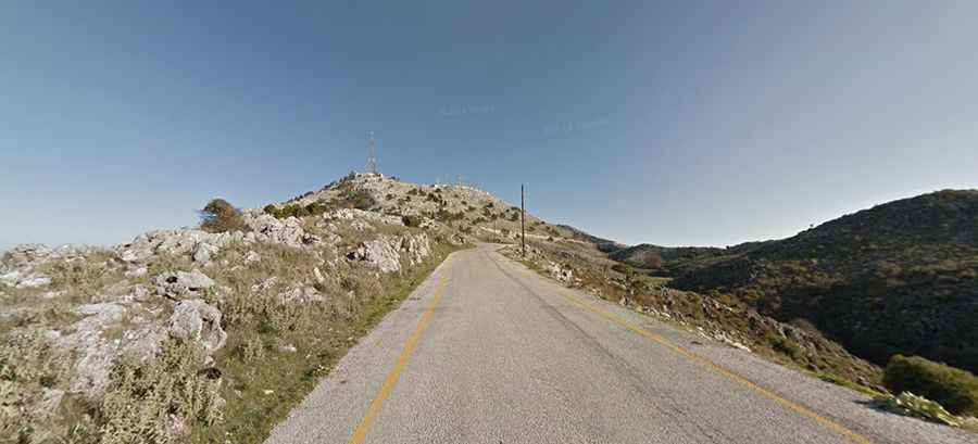
The scenic drive to Mount Pantokrator in Corfu
Mount Pantokrator is a mountain peak at an elevation of 906m (2,972ft) above sea level, located in Corfu, in the Ionian Islands Region of Greece. The drive offers the best panoramic views of Corfu from above.

Where is Mount Pantokrator?
Situated high in the northeastern part of the island, Mount Pantokrator, also known as Pantocrator and Mount Pantokratoras, is the highest mountain on the island.
Can you drive up Mount Pantokrator?
The road to the summit is fully paved. Starting at Strinilas, the ascent is 4.6 km (2.85 miles) long.
Is the road to Mount Pantokrator challenging?
The road to the summit is very steep, with sections reaching an 18% maximum gradient. The elevation gain is 260 meters, with an average gradient of 5.65%. The road is quite narrow and lacks guardrails. It features a series of switchbacks that may be uncomfortable for travelers prone to motion sickness.
Is the road to Mount Pantokrator worth it?
The road to the summit offers stunning views, boasting the best panoramic views of Corfu from above. It is advisable to visit on clear days for optimal enjoyment. From the mountaintop, visitors can observe the coast of Epiros and Albania, Lake Butrinto, the small islands of Othoni, Erikoussa, and Mathraki to the northwest of Corfu, the hills of Lefkimmi in the south, the island of Paxi, and, on exceptionally clear days, Italy, despite being 130 kilometers away.
Why is Mount Pantokrator famous?
The summit is home to a tourist café, a telecommunications station, and a monastery. The Monastery of Pantokrator was constructed on the site of an older Angevin monastery built in 1347, which was destroyed in the early 16th century. It was subsequently rebuilt, starting in 1689 with contributions from the surrounding villages. The facade of the church was constructed in the 19th century. Parking at the summit is limited.
How long does it take to drive to Mount Pantokrator?
To drive the road without stopping will take most people between 10 and 15 minutes.