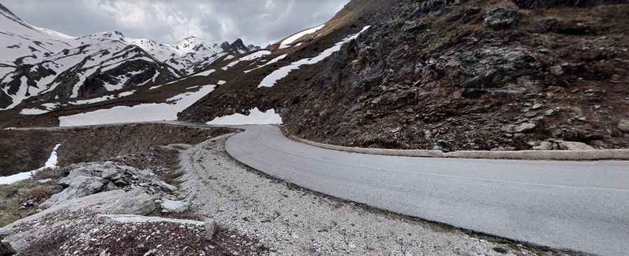
Baros Pass is an absolute must for road lovers in Greece
Baros Pass is a high mountain pass at an elevation of 1,898m (6,227ft) above sea level, located in Greece. It's one of the highest roads in the country.

Where is Baros Pass?
The pass is located on the boundary between Epirus and Thessaly. It has been used for centuries as a transit corridor through the Pindos Mountains. Up until 1912, the Greek-Turkish border ran right across this pass.
Is Baros Pass paved?
The road to the summit, also known as Mparos Pass, was totally paved in 2013. It’s said to be, incorrectly, the highest paved road in the country.
How long is Baros Pass?
The pass is 24.4 km (15.16 miles) long, running south-north from Matsouki (in the Ioannina regional unit) to Anthousa (on the western part of the Trikala regional unit). The road runs through a stunningly beautiful path between canyons, steep slopes, and dense forests.
Is Baros Pass challenging?
Located in the central part of the country, the road to the summit is very challenging, with turns, hairpin turns, without guardrails in parts, and very steep, reaching an 18% maximum gradient through some of the ramps. It has narrow parts with dangerous drop-offs.
Is Baros Pass open?
Set high in the southern Pindus Mountains range, from October to May, the road is usually impassable due to snow. Stones often fall off or slide from the steep slopes downwards.
Pic: Peter Takov