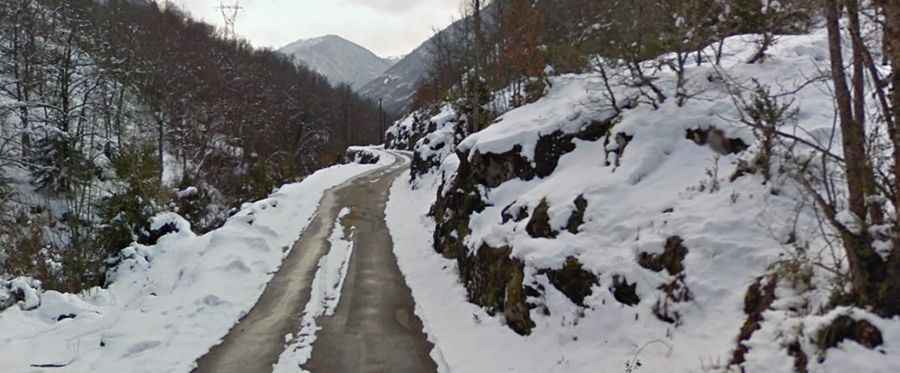
Driving the narrow road to Pla de las Peyres in the Pyrenees
Pla de las Peyres is a high mountain plateau at an elevation of 1,707m (5,600ft) above sea level, located in the Ariège department of France.

Where is Pla de las Peyres?
The plateau is located in the Occitanie region, in the southwestern part of the country, near the border with Andorra.
Why is Pla de las Peyres famous?
Set high in the Central Pyrenees mountain range, the road to the plateau ends at a parking lot. It’s heavily used by hikers climbing the nearby peaks.
Is the road to Pla de las Peyres paved?
The road to the plateau is called D520A. It’s mostly asphalted, with some narrow parts. It provides stunning views of Étang de Laparan and Étang de Riete lakes.
How long is the road to Pla de las Peyres?
The road is pretty steep. Starting from Aston, the ascent is 19.8km (12.30 miles) long. Over this distance, the elevation gain is 1,128 meters. The average gradient is 5.69%, with some parts up to 15.0%.