Road Trip Guide: Conquering Col des Ruillans in the Hautes-Alpes
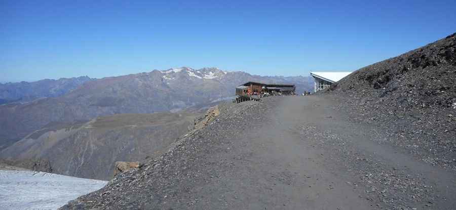
Col des Ruillans is a high mountain peak with an elevation of 3,231m (10,600ft) above sea level, located in the Hautes-Alpes department of France. It’s one of the highest roads in Europe.

Where is Col des Ruillans?
The peak is located in the Provence-Alpes-Côte d'Azur region, in the southeastern part of the country, within the Écrins National Park. The summit hosts a bar.
Is the Road to Col des Ruillans Unpaved?
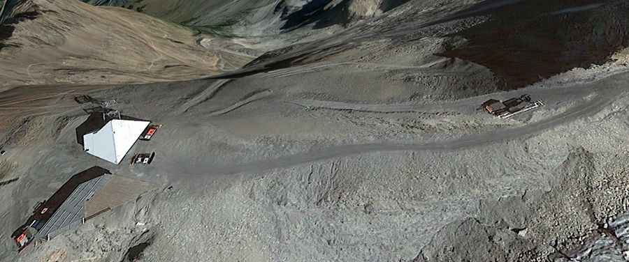
The road to the summit is completely unpaved and serves as a chairlift access trail, suitable only for modified vehicles. Starting from La Grave, the road to the summit is 8.3 km (5.15 miles) long, with an elevation gain of 1,742m. The road is brutally steep, with an average gradient of 20.98%. It’s one of the highest roads in the country.

Can I Drive the Road to Col des Ruillans in Winter?
Set high in the heart of the French Alps, the ski station service road is accessible only during a very narrow time frame in the summer (typically at the end of August) due to snow.
Pic: cc Sivergues