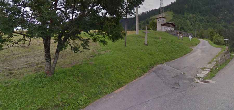
Tête de la Sallaz
Tête de la Sallaz is a high mountain peak at an elevation of 1.992m (6,535ft) above the sea level, located in the Haute-Savoie department in the Auvergne-Rhône-Alpes region in south-eastern France. The average gradient is 14.74% with some sections up to 20%.

The road to the summit, located in the Aravis Range, is gravel, rocky, tippy and bumpy at times. It’s called Chemin dit de Vormy. The road is usually impassable from October to June (weather permitting). Due to the high elevations and exposure, the road is subject to strong winds and rapid weather changes. Be prepared for the cold and wind! High winds blow here all year long. 4x4 vehicle required. The summit offers stunning views. The views from up there toward Mt. Blanc and the opposite side of the valley are fantastic. Expect a trail pretty steep. Starting from D119 road, near Romme, the ascent is 4.7 km long. Over this distance the elevation gain is 693 meters. The average gradient is 14.74% with some sections up to 20%.