A Wild 4x4 Road to Col du Bouchet in the Massif de la Vanoise
Col du Bouchet is a high mountain peak at 3,004 m (9,855 ft) above sea level, located in the Savoie department of France. It's one of the highest roads in Europe.

Where is Col du Bouchet?
The peak is situated in the Auvergne-Rhône-Alpes region, in the southeastern part of the country, within the Tarentaise Valley.
Is the road to Col du Bouchet unpaved?
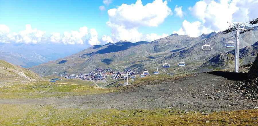
The road to the summit is completely unpaved. It’s a chairlift access road with occasionally impossible steepness. The road follows the unpaved ski-lift service roads, approaching the top of the cable car station at 3,004 meters above sea level. It features narrow and steep sections (up to 25%). It's one of the highest roads in the country.
How long is the road to Col du Bouchet?
Starting from Val Thorens Ski Resort, the road to the summit is 5.1 km (3.16 miles) long. Over this distance, the elevation gain is 642 m and the average gradient is 12.58%.
Is the road to Col du Bouchet open in winter?
Set high in the Massif de la Vanoise range, the road is totally impassable from October through June. 4x4 vehicles only.
Pic: Bram van Gelder