Le Plan des Mains
Le Plan is a high mountain refuge at an elevation of 2.129m (6,984ft) above the sea level, located in the Savoie department, in the Auvergne-Rhône-Alpes region of the French Alps.
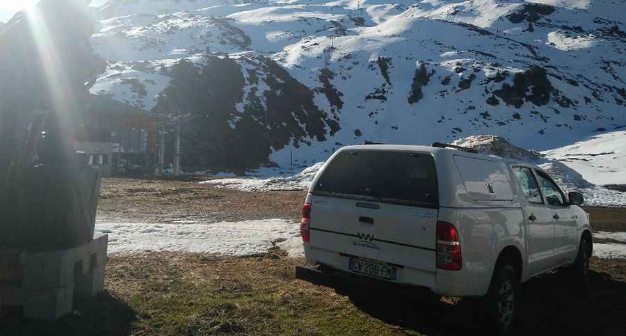
The road to the summit, located within the Vanoise National Park, is gravel, rocky, tippy and bumpy at times. It’s impassable from October to May. Great trail for experienced wheelers. Avoid driving in this area if unpaved mountain roads aren't your strong point. Stay away if you're scared of heights. Expect a trail pretty steep. Wet conditions may make for tough driving along the muddy road. 4x4 required.
Pic: Jerome Chapuis