A brutal unpaved road to Col des Pres
Col dés Pres is a high mountain pass at an elevation of 2,652m (8,700ft) above sea level, located in the Savoie department of France. It’s one of the highest roads in the country.
Where is Col dés Pres?
The pass is located west of Rocher du Charvet (a high mountain peak at an elevation of 2,712m – 8,897ft above sea level), in the Auvergne-Rhône-Alpes region, in the southeastern part of the country, near the Italian border.
How long is the road to Col dés Pres?
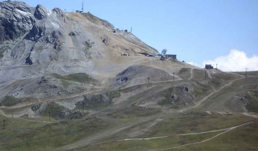
The road to the summit is totally unpaved. It’s a chairlift access trail for the Val d’Isère ski resort. Only 4x4 vehicles are allowed. Starting from Val-d'Isère, the road to the summit is 6km (3.72 miles) long.
Is the road to Col dés Pres open in winter?
Set high in the French Alps, within the Vanoise National Park, the road is completely impassable in winter.
Pic: http://i85.servimg.com/u/f85/11/75/28/03/dsc03413.jpg