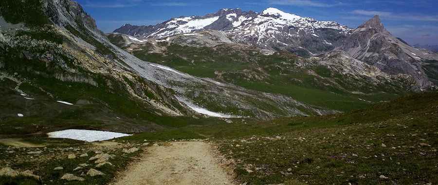
Travel guide to the top of Col des Ves
Col des Ves is a high mountain peak at an elevation of 2.793m (9,163ft) above sea level, located in the Savoie department of France. It’s one of the highest roads in Europe.

Where is Col des Ves?
The peak is located in the Auvergne-Rhône-Alpes region, in the southeastern part of the country, within the Vanoise National Park.
Is the road to Col des Ves unpaved?
The road to the summit is totally unpaved. It is mostly used to provide access for maintaining ski lifts and lodges. It’s one of the highest roads in the country.
How long is the road to Col des Ves?
The road to the summit is very steep. Starting from Val Claret, the ascent is 6.4 km (3.97 miles) long. Over this distance, the elevation gain is 671 meters. The average gradient is 10.48%.
Is the road to Col des Ves open in winter?
Set high in the Massif de la Vanoise of the French Alps, the road to the summit is totally impassable in winter. It’s rather exposed to the winds.
Pic: gurvan le nir