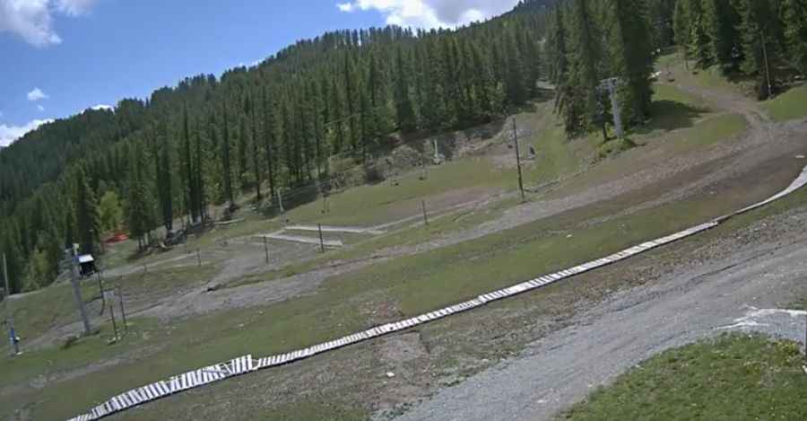
The road to Crete de la Pendine is not for the faint of heart
Crête de la Pendine is a high mountain peak at an elevation of 2,705m (8,874ft) above sea level, located in the Hautes-Alpes department of France. It’s one of the highest roads in the country.

Where is Crête de la Pendine?
The peak is located in the Provence-Alpes-Côte d'Azur region, in the southeastern part of the country.
How long is the road to Crête de la Pendine?
The road to the summit is totally unpaved. It’s a chairlift access trail, brutally steep and narrow. Starting from Station 1600, the road to the summit is 6.7 km (4.16 miles) long. Over this distance, the elevation gain is 1,000m, with an average gradient of 14.92%.
Is the road to Crête de la Pendine open in winter?
Set high in the Massif des Écrins of the French Alps, the road is only passable in summer. 4x4 vehicles only.
Pic: https://www.puysaintvincent.com/en