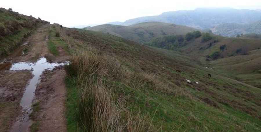
A mule track to Col d’Artzatey in the Pyrenees
Col d’Artzatey is an international mountain pass at an elevation of 662m (2,171ft) above sea level, located on the Spanish-French border.

Where is Col d’Artzatey?
Situated in the Pyrenees mountain range, the pass links the autonomous community of Navarre with the Pyrénées-Atlantiques department in the Nouvelle-Aquitaine region.
Is Col d’Artzatey unpaved?
The road through the summit is totally unpaved. It’s a mule track and might be driven with a 4x4 vehicle. It’s narrow and challenging after rains.
How long is the road to Col d’Artzatey?
Starting from the parking lot at Col de Mehatche Pass, the road to the summit is 1.3 km long.
Pic: https://www.baladesgasconnes.fr/zarkambid%C3%A9-pe%C5%88as-de-ichusi-depuis-m%C3%A9hatch%C3%A9/