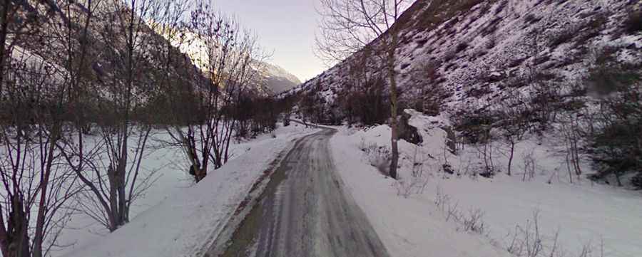
A paved road to Chalet Hotel du Gioberney in the heart of the Ecrins Park
Chalet Hôtel du Gioberney is a high mountain refuge at an elevation of 1.649m (5,410ft) above sea level, located in the Hautes-Alpes department of France, within the Cirque du Vaccivier.

Where is Chalet Hôtel du Gioberney?
The refuge is located in the Provence-Alpes-Côte d'Azur region, in the southeastern part of the country, within the Écrins National Park. The refuge was built in 1942 by the Vichy government. It is the starting point for many hikes.
Is the road to Chalet Hôtel du Gioberney paved?
The road to the refuge is fully paved but pretty narrow and steep (with some sections up to 10%). It is called D480T. The last petrol station is at the entrance to the valley. Remember to fill up with gas because the refuge is circa 30 km away.
How long is the road to Chalet Hôtel du Gioberney?
Starting from N85, near Saint-Jacques-en-Valgodemard, the road is 26.2 km (16.27 miles) long. Over this distance the elevation gain is 784 meters. The average gradient is 2.99%. The last part of the road is closed to private vehicles.
Is the road to Chalet Hôtel du Gioberney open in winter?
Set high in the Alps, the area receives significant snowfall in winter, and the road is usually closed during colder months. Risk of rock slides.