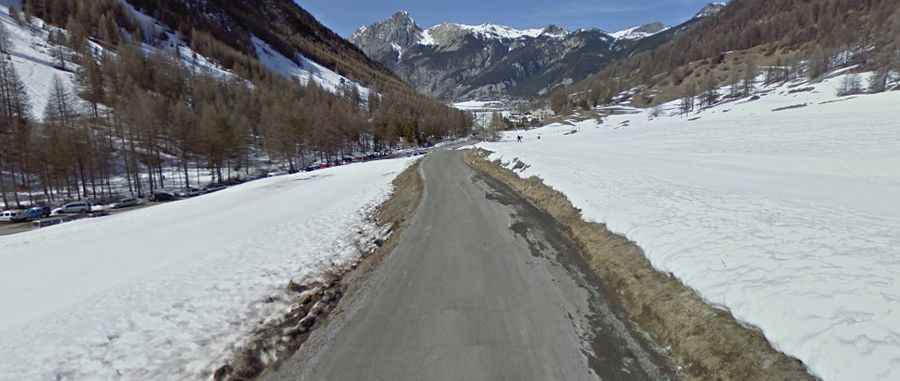
An epic paved road to Vallon du Melezet in the Alps
Vallon du Mélézet is a high mountain pass at an elevation of 1.821m (5,974ft) above sea level, located in the Hautes-Alpes department of France.

Where is Vallon du Melezet?
The pass is located in the Provence-Alpes-Côte d'Azur region, in the southeastern part of the country.
Is the road to Vallon du Melezet paved?
Set high in the heart of the French Alps, the road to the summit is called D60. It’s paved in very good shape, but with a few steep sections (up to 13.3%). The summit hosts a mountain refuge known as Refuge de la Cime. Along the way, the road features a series of 12 hairpin turns, known as Les 12 lacets de Ceillac.
How long is the road to Vallon du Melezet?
Starting from Le Pont de Pierre où Maison du Roi, the ascent is 11.5km (7.14 miles) long. Over this distance, the elevation gain is 770 meters. The average percentage is 6.69 %. The pass is open to traffic throughout the year, but may be closed for short periods in winter when the weather is bad.