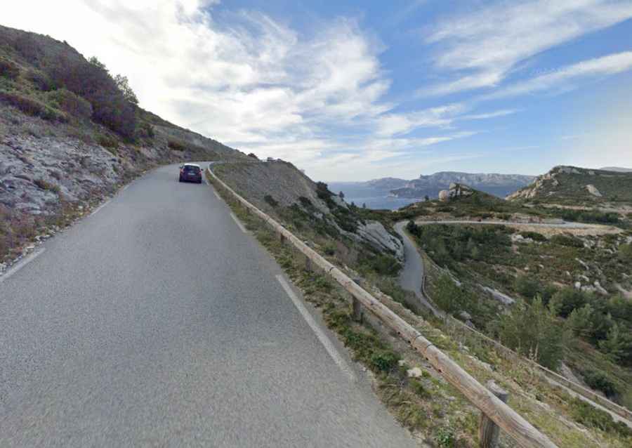
Driving Route des Cretes along the Mediterranean Sea in Provence
Located in the department of Bouches-du-Rhône in France, Route des Crêtes is a very scenic drive and one of the steepest roads of the country, with parts up to 23%. The road is closed if there's too much wind - people could be blown off the 300 meter high cliffs.

Where is Route des Crêtes?
The road is located to the east of Marseille, in the Provence-Alpes-Côte d'Azur region, in the southern part of the country.
When was Route des Crêtes built?
The road was built by the French High Command in World War I to carry supplies.
How long is Route des Crêtes along the Mediterranean Sea?
The stunning Route des Crêtes (D141) is totally paved. It’s a road with stunning views along the Mediterranean Sea. The road is 11.9 km (7.39 miles) long, running west-east from Cassis to La Ciotat.
Is Route des Crêtes defiant?
Nicknamed the ‘Road of the cliffs’, it’s well-maintained, not too winding or difficult to drive along and comfortably wide enough for cars to pass another vehicle, which is just as well because you're unlikely to find yourself alone. It has quite a lot of sharp bends and places where you are driving quite close to cliffs and some drivers find it a bit scary. The road is pretty challenging in parts. It tops out at 364m (1,194ft) above sea level, and features steep sections, hitting a 23% (signals say 30%) of maximum gradient through some of the ramps especially towards Cassis. The ride by bike is considerably easier if you start out from La Ciotat.
Is Route des Crêtes along the Mediterranean Sea worth it?
The drive features stunning views. To drive the road without stopping will take most people between 15 and 25 minutes. It's hugely popular with car-drivers, cyclists, motor-bikers and camper van vacationers. It is chiefly a tourist road and a popular tourist destination, famous for its cliffs and the sheltered inlets called calanques. The road is generously supplied with look-out points where you can pull over to take photos or have a picnic. Along the way, car parks offer easy parking and access on foot to the top of the cliffs overlooking the sea. The sun can be harsh and intense on the top of the crest in the middle of the day in high summer and perhaps the loveliest time to go along this route at this time of year is in the early morning or at dusk, when the temperature is milder and the light softer. The route takes you on a magnificent ride with 360 degree views over some of the most superb scenery in Provence all along the way. Don’t be confused: there are other routes of the same name elsewhere in France, for example in the Vosges mountains in Eastern France and in the Gorges du Verdon.
Is Route des Crêtes between the Gulf of Cassis and the Gulf of La Ciotat open?
It’s closed to traffic (and hikers) on days of very strong wind and / or when the fire risk is high, as can happen frequently in summer. Road signs as you approach it from either La Ciotat or Cassis will let you know if it is open. The road barriers can come down suddenly during the day if the weather changes, so check the forecast if you are doing the route by car to avoid finding yourself trapped behind them (you should check the forecast anyway, of course).