Col de Ve Gautier: good road quality and pleasant grading
Col de Vé Gautier is a mountain pass at an elevation of 1.099m (3,605ft) above sea level, located in the Alpes-Maritimes department of France.
Where is Col de Ve Gautier?
The pass is located in the Provence-Alpes-Côte d'Azur region, in the southeastern part of the country. It links the Esteron and Fleuve valleys.
Is Col de Ve Gautier paved?
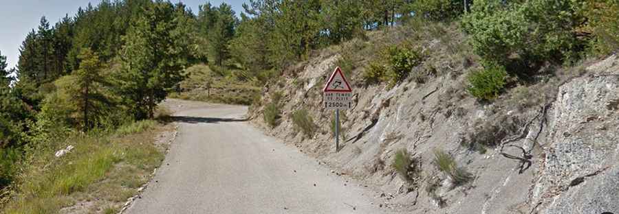
The road to the summit, also known as Col de Vegautier, is paved. It’s called D27. The drive offers fantastic views of the low-lying Estéron valley. Extreme care with a few very rocky passages.
How long is Col de Ve Gautier?
The pass is 11.7 km (7.27 miles) long, running east-west from Toudon to Ascros. The road is pretty narrow and steep (with sections up to 8.0%).