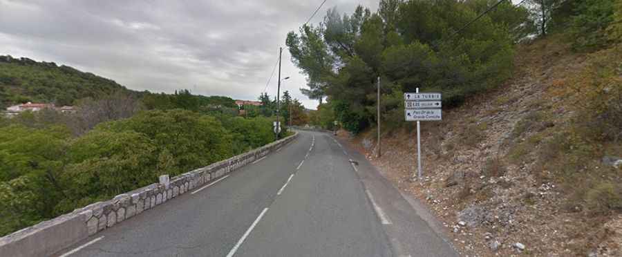
The iconic Col d'Eze between Nice and Monaco
Col d'Èze is a mountain pass at an elevation of 532m (1,745ft) above sea level, located in the Alpes-Maritimes department of France.

Where is Col d'Èze?
The pass is located in the Provence-Alpes-Côte d'Azur region, in the southeastern part of the country.
Why is it called Col d'Èze?
The pass is named after the village of Èze.
Is Col d'Eze in the Alpes-Maritimes paved?
The road to the summit is totally paved. It’s called M2564, part of the scenic Route des Grandes Alpes.
Is the road through Col d'Èze worth it?
Located in the Alpes-Maritimes, there are outstanding views to the town of Eze and the Mediterranean from the road.
How long is Col d'Eze?
The pass is 15.4 km (9.56 miles) long, running west-east from Nice (capital of the Alpes-Maritimes department on the French Riviera) to La Turbie.
Cycling the Col d’Eze between Nice and Monaco
The pass is used regularly in both the Paris Nice and Tour de France cycling races. It’s one of the most iconic Alpes-Maritimes climbs and a popular training ground for the many professional cyclists residing in the area. The climb is pretty steep, hitting a 10.2% of maximum gradient through some of the ramps, and generally graded a category 2 climb.